Over the last week, we have been developing our geographical skills. Geography involves studying the physical features of the earth and the human activity on it.
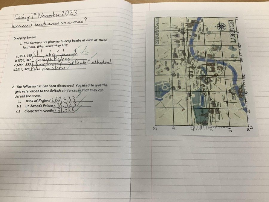
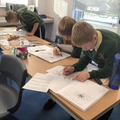
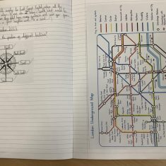
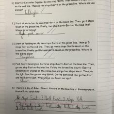
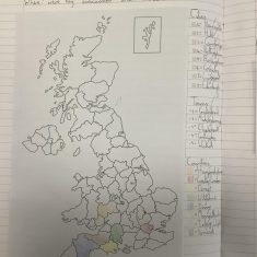
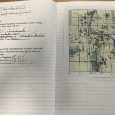
We have used atlases to look at the location of counties, cities and towns that were directly involved in war – either as evacuation or host areas. We then used our imagination to pretend that we were part of the British intelligence during the war. We followed compass directions on the London underground map to locate spies and used 6-figure grid references to thwart German bomb plots. Although the scenarios were designed to be made believe, the skills were tricky and made us think carefully about our understanding of geography.
