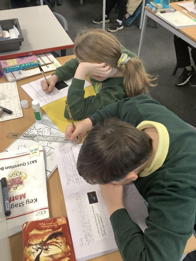
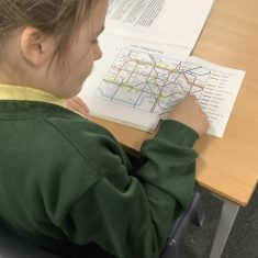
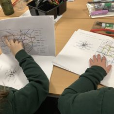
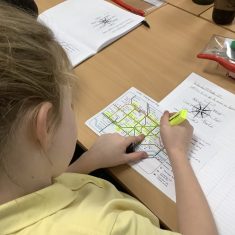
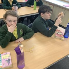
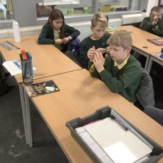
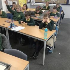
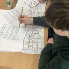
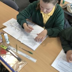
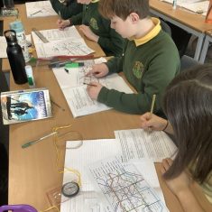
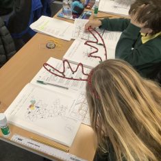
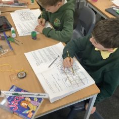
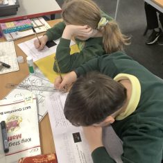
Year 6 have been learning some vital geographical skills over the last two weeks which have linked to their Peacekeepers topic and World War 2.
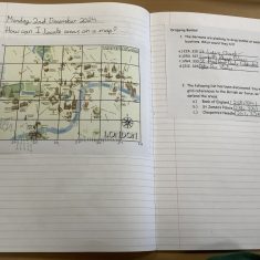
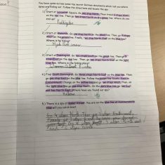
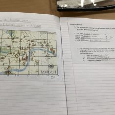
Within their lessons, children have used atlases, compasses, tube maps, street maps and grids to study the geography of the UK – and London in particular. They have though about the difference between counties, cities and towns and have located these on a map. They have then worked carefully on locations; using compass point directions and grid references to give positions on a range of maps. They have thought about the importance of being precise to find a spy, or work out where a bomb has been planted in war and this has given real meaning to their learning.
