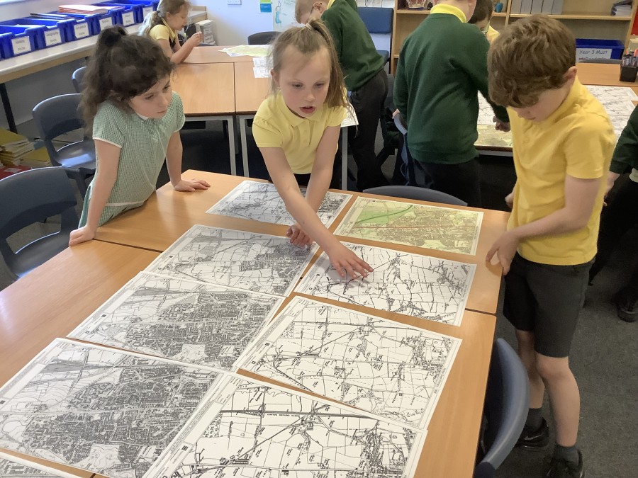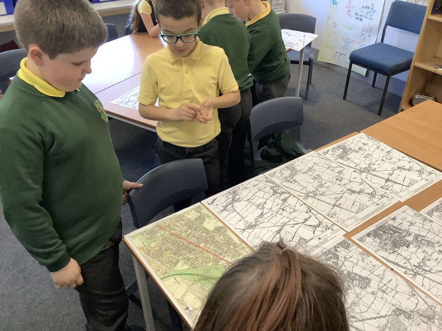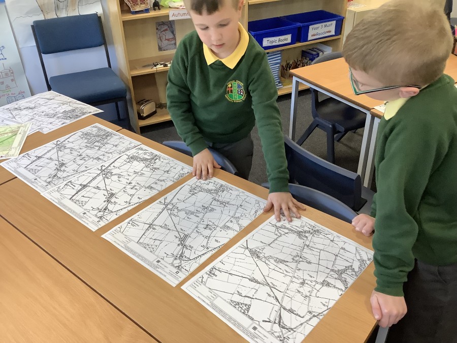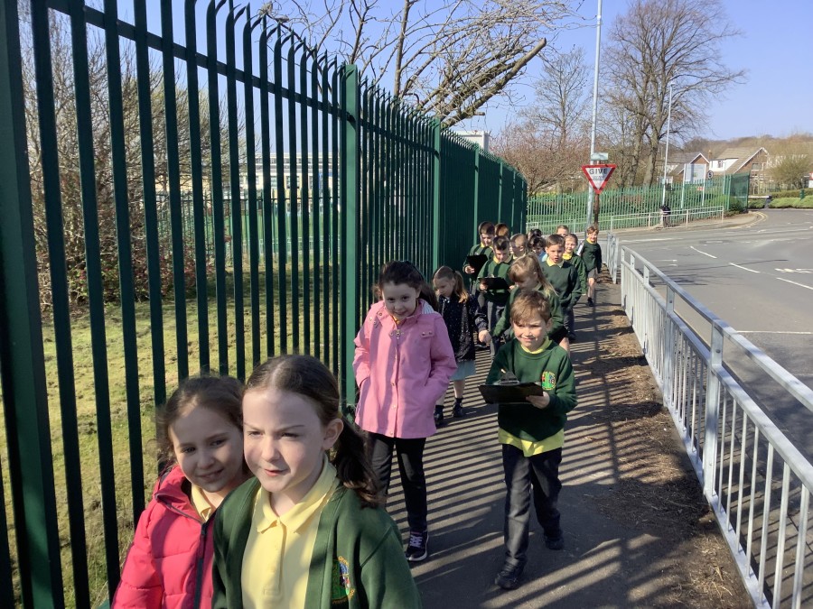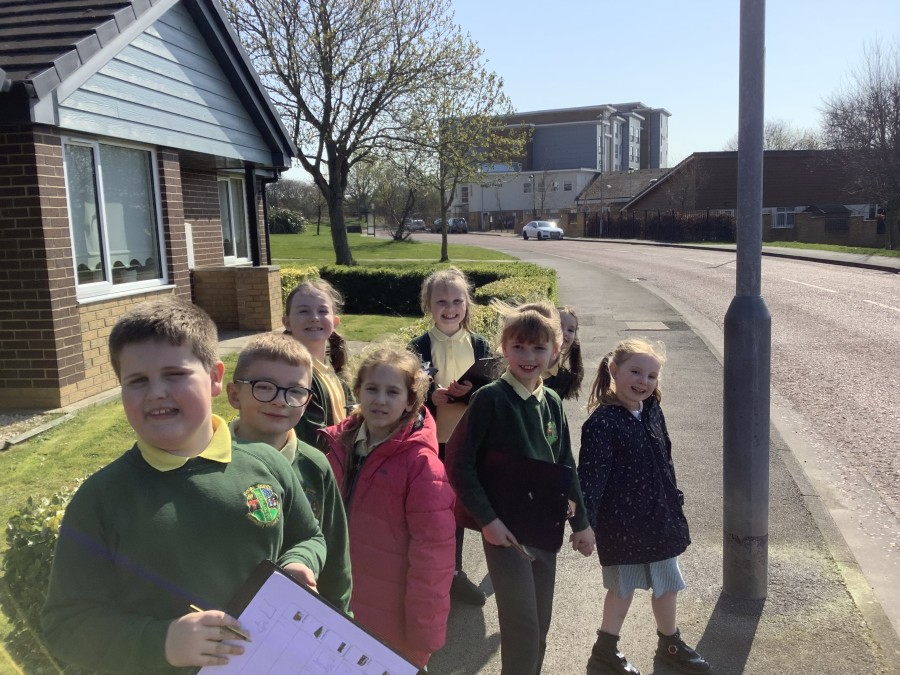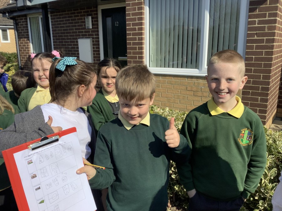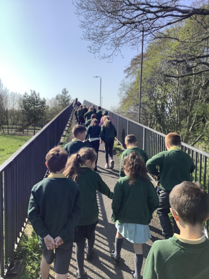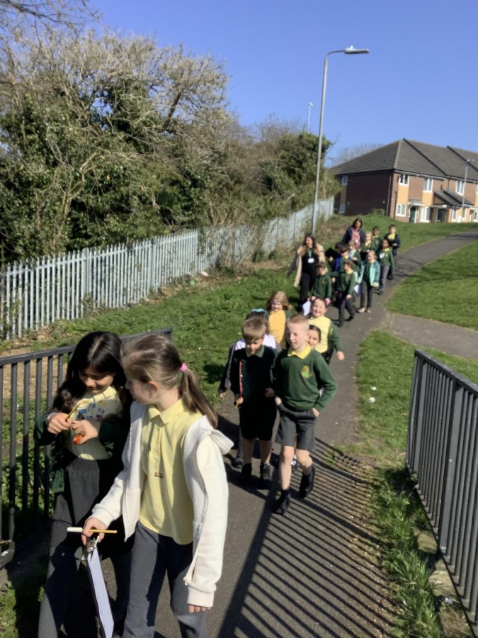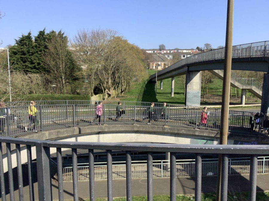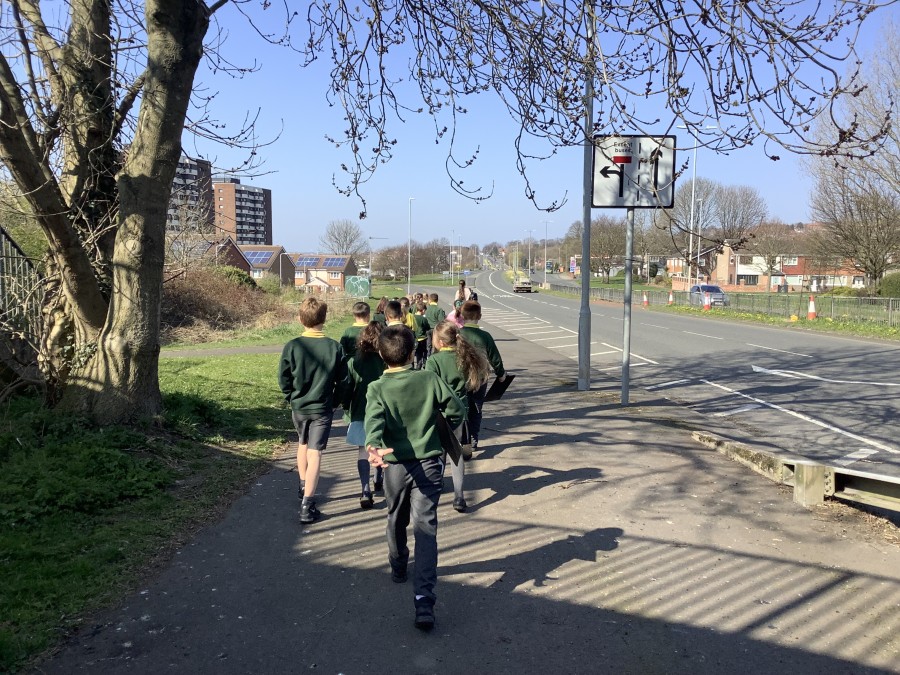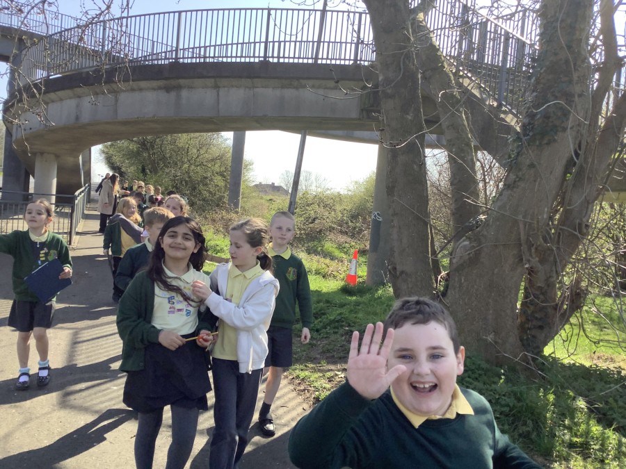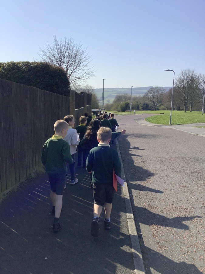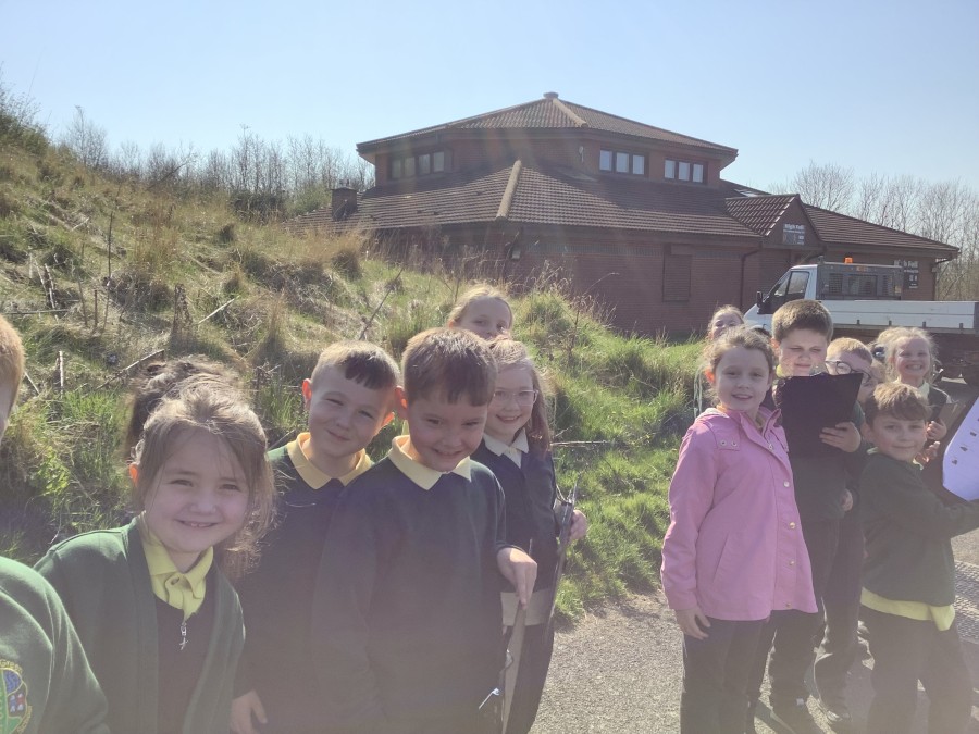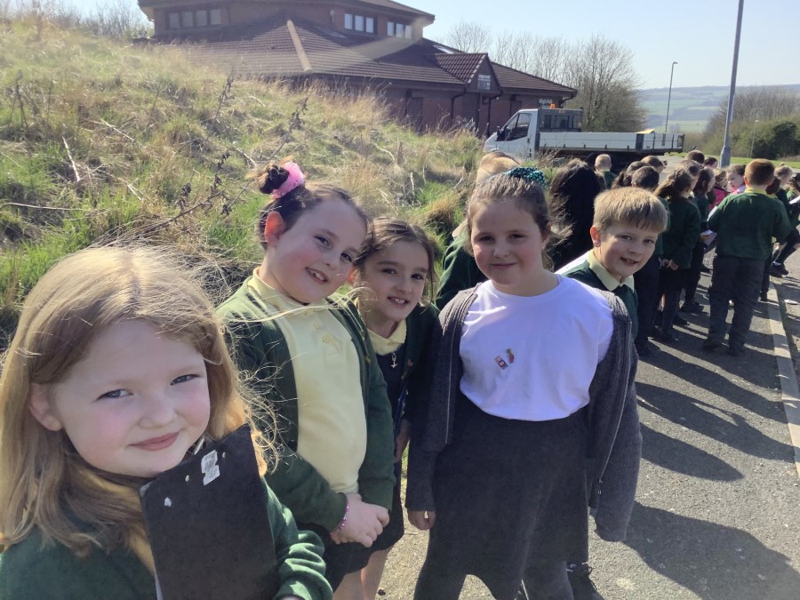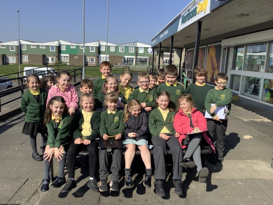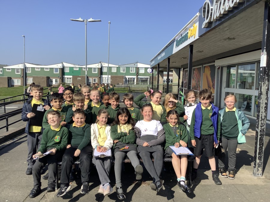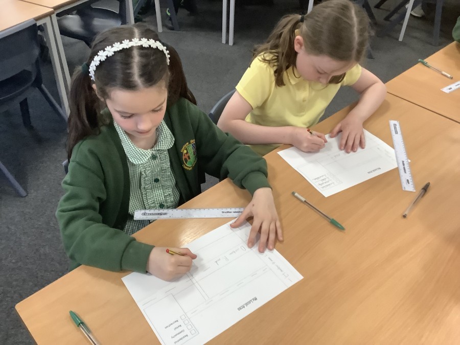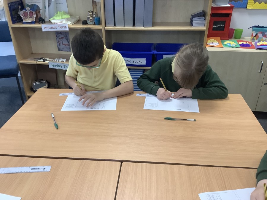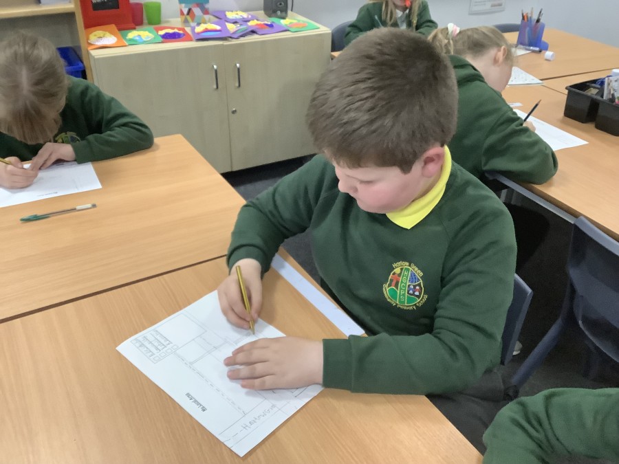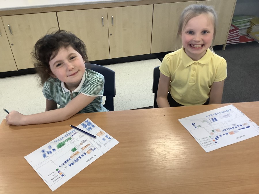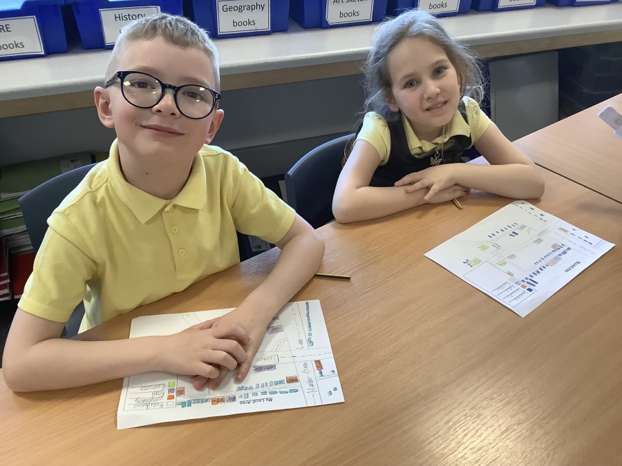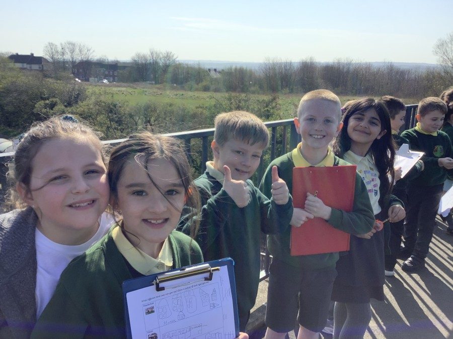
In Geography, the boys and girls have been learning about rural and urban areas. They began by exploring what these terms mean and identifying rural and urban areas from photographs. They then enjoyed comparing maps of Harlow Green over the years and concluded that it has changed from a rural area into an urban area. They excitedly pointed out places they recognised or the area they live. After this, the children learned the difference between residential areas, retail areas, community areas and recreation areas. They then went on a walk around the local area and were able to identify how the land has been used. Back in the classroom, the boys and girls have worked extremely hard to create their own sketch maps and even added their own symbols to the key to represent bus stops, litter bins and parking spaces.