In Geography, Year Two have been learning about maps and compass points. They have also looked at human and physical features in our local area and identified them on a map.
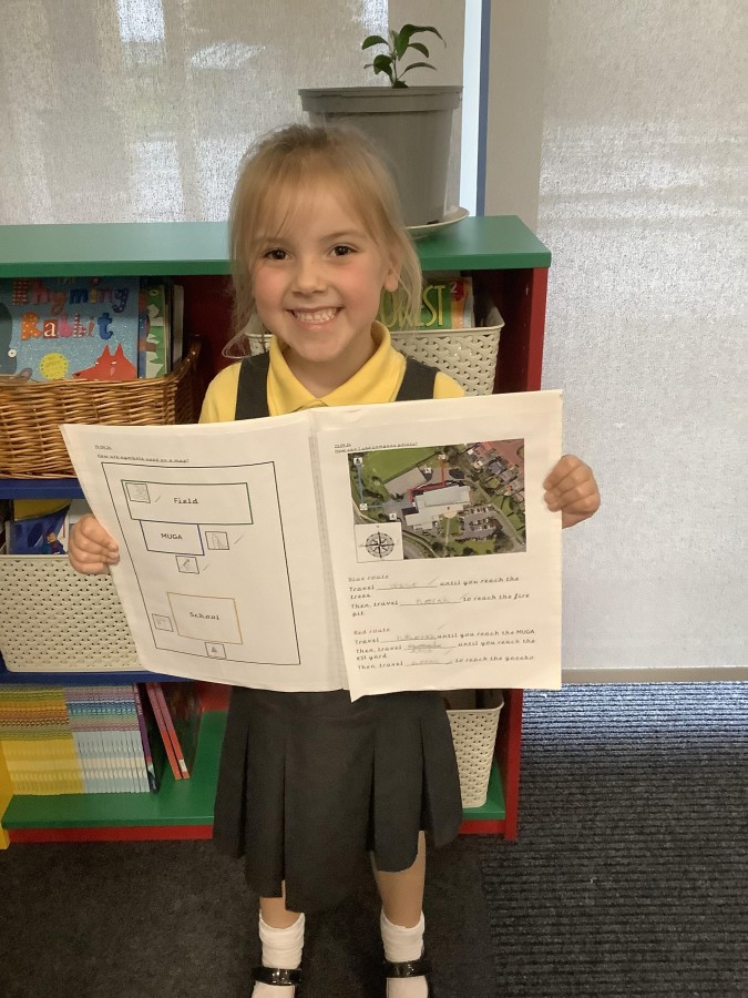
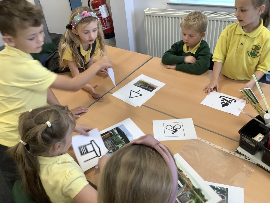
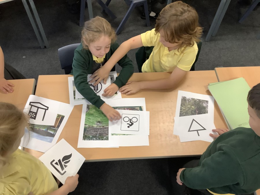
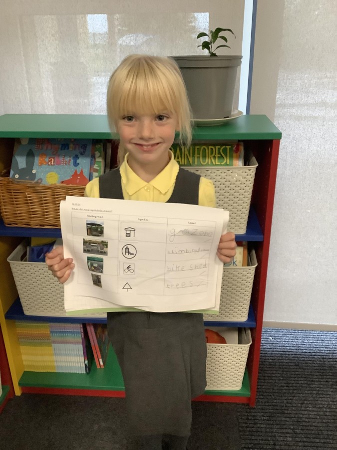
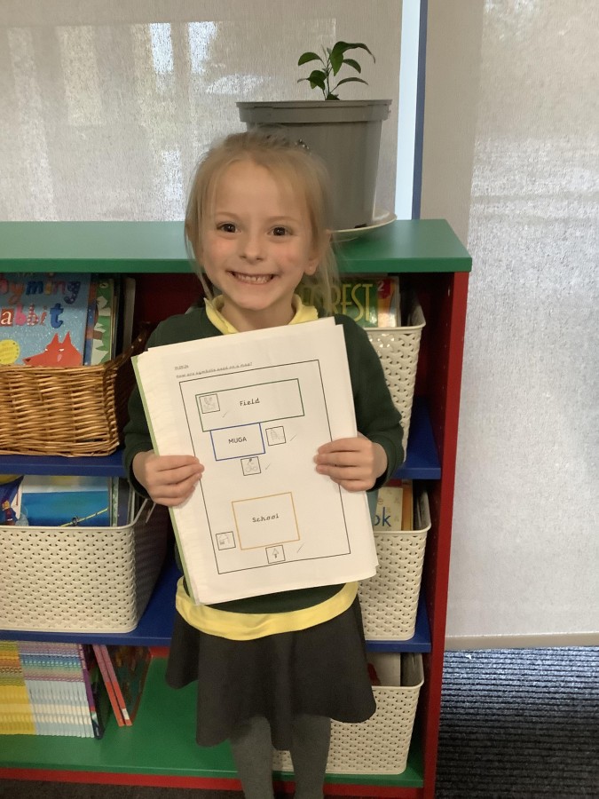
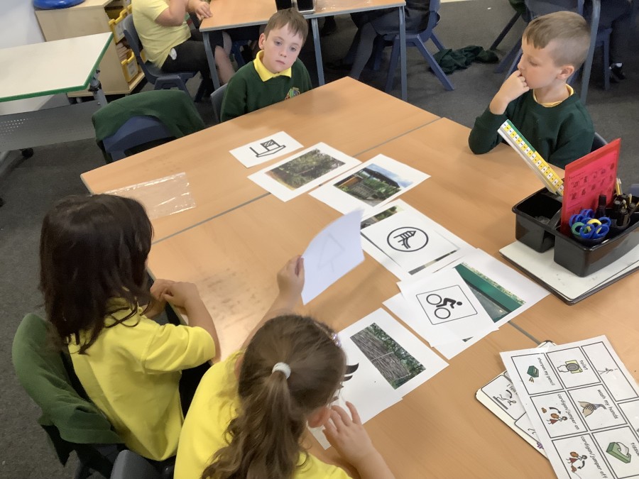
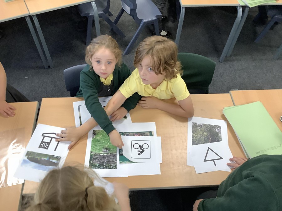
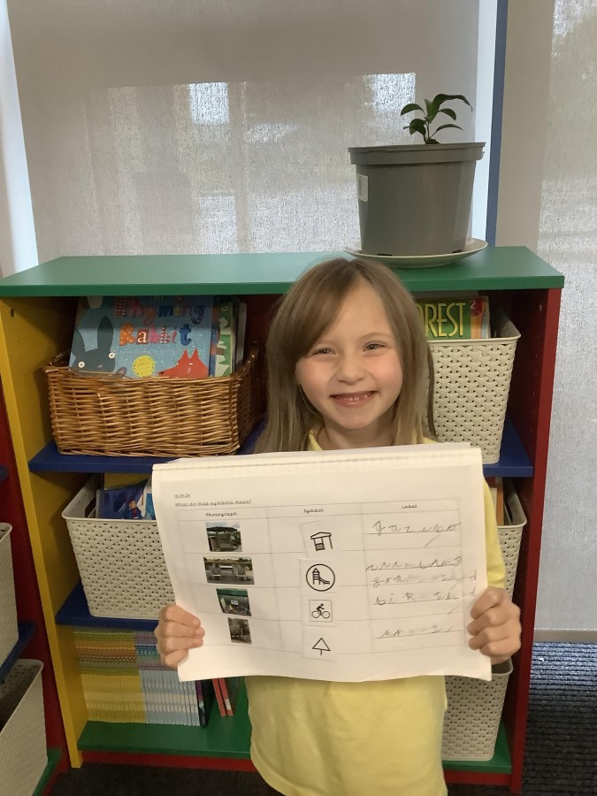
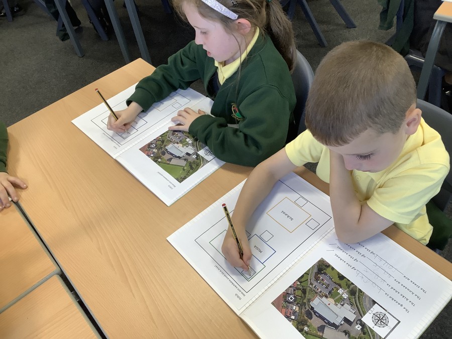
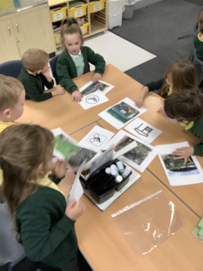
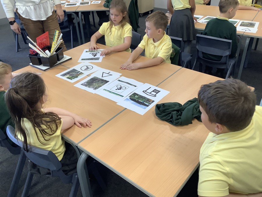
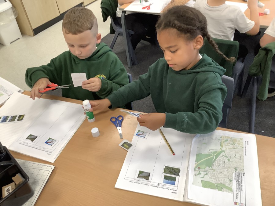
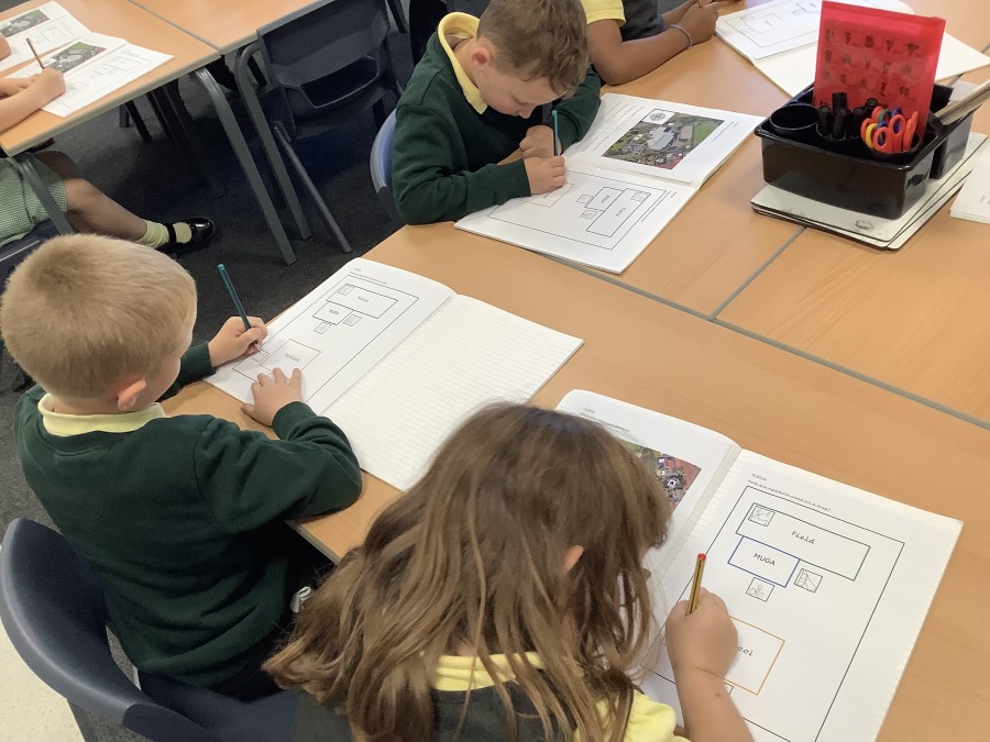
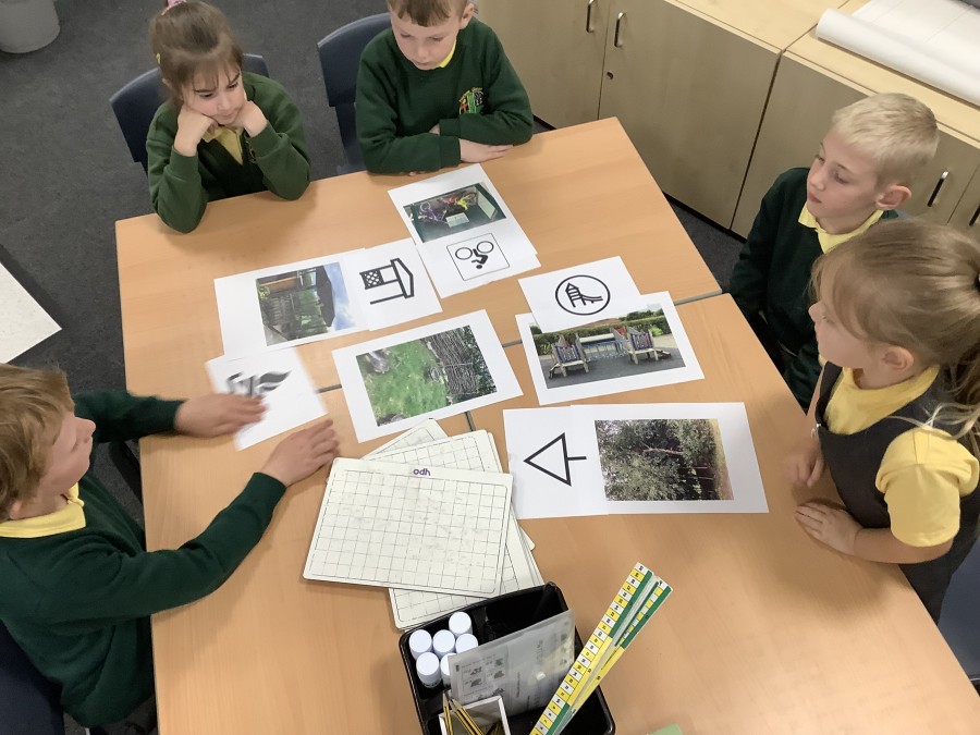
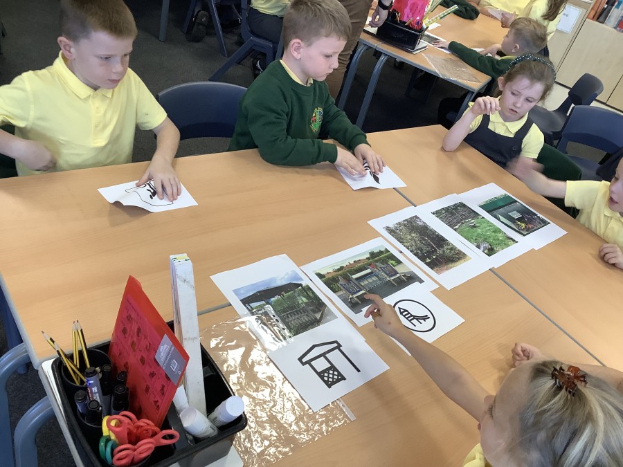
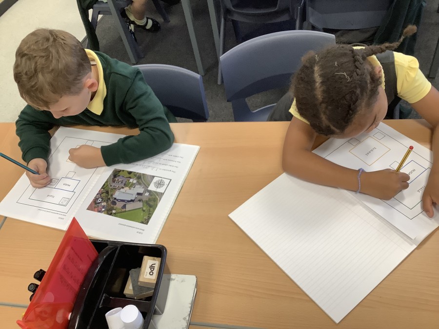
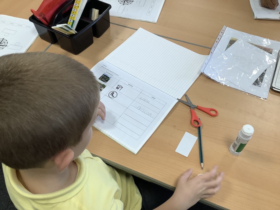
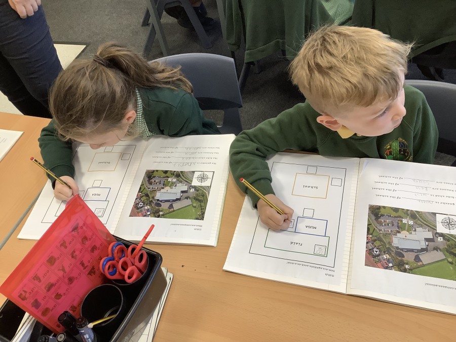
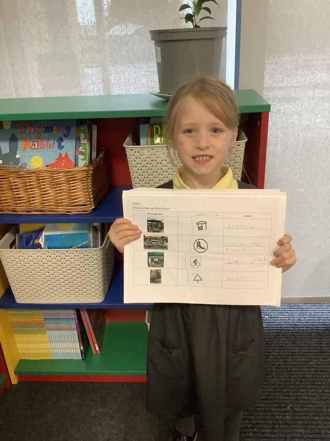
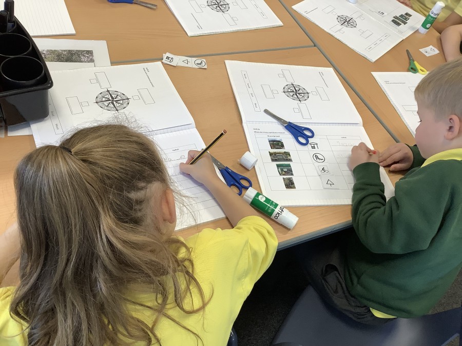
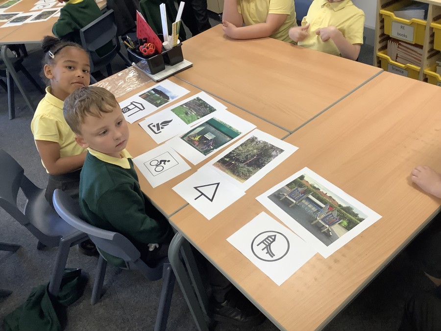
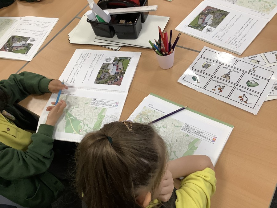
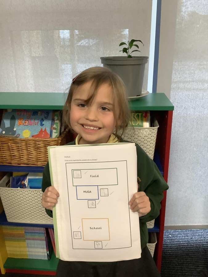
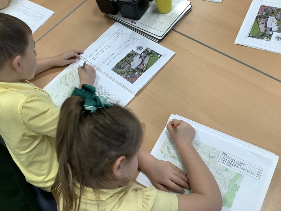
First, the children learnt that a map is a flat picture of an area seen from above. They found out that maps contain symbols to represent the features in an area. Then, they worked in groups to match symbols to features in our school grounds. They cooperated with each other and quickly identified the different features and their respective symbols. The children later used these to create their own simple maps of the school grounds.
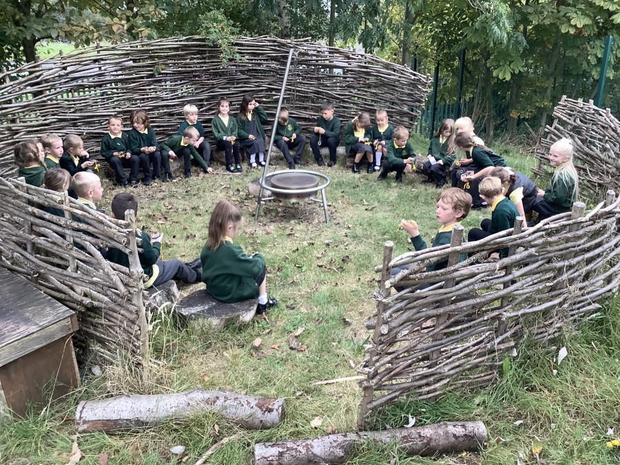
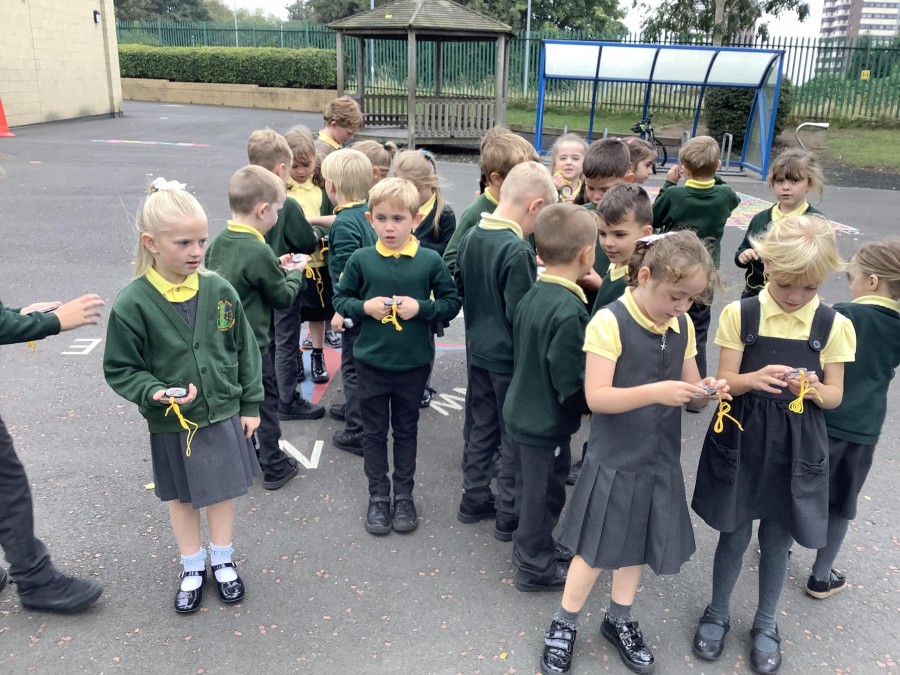
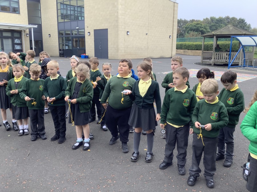
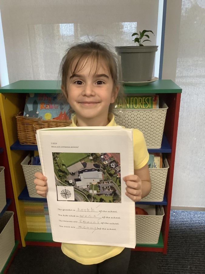
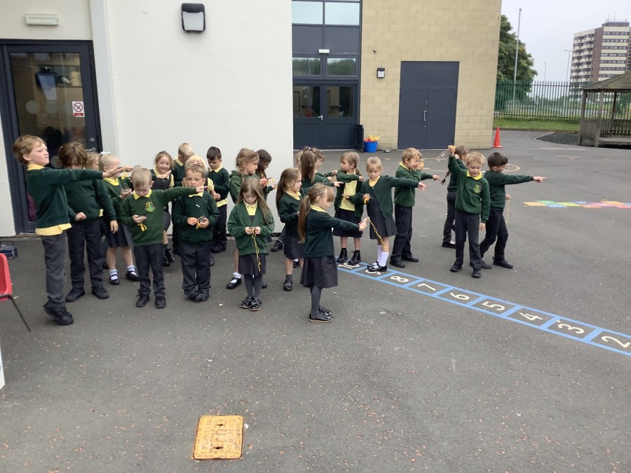
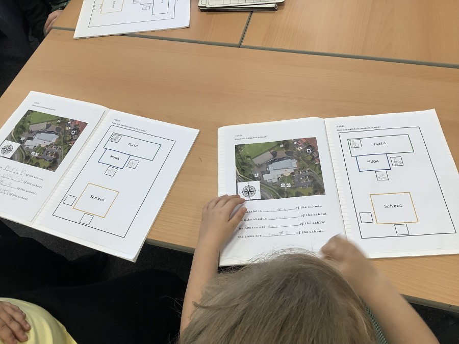
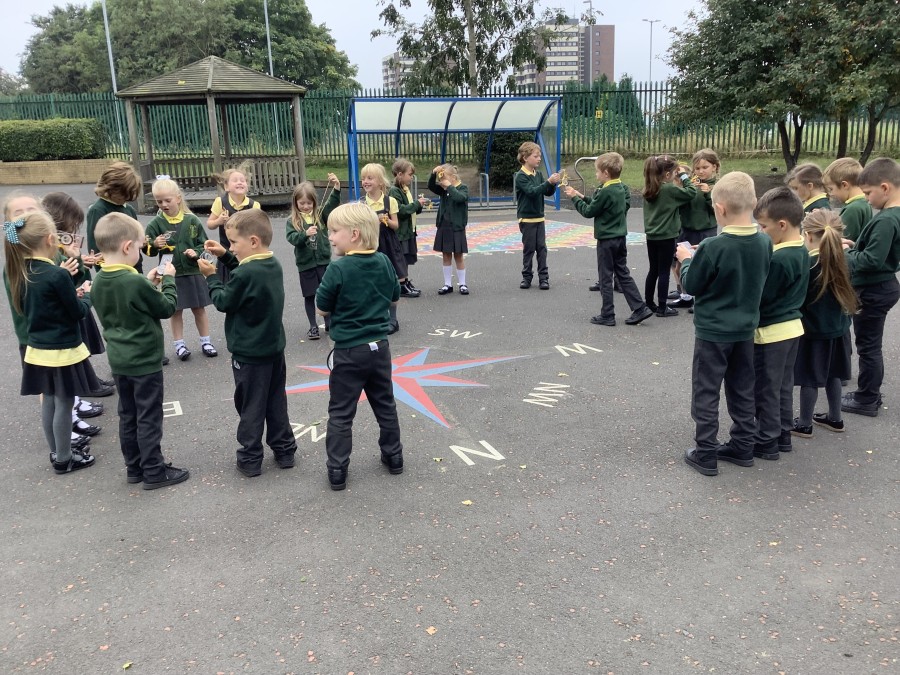
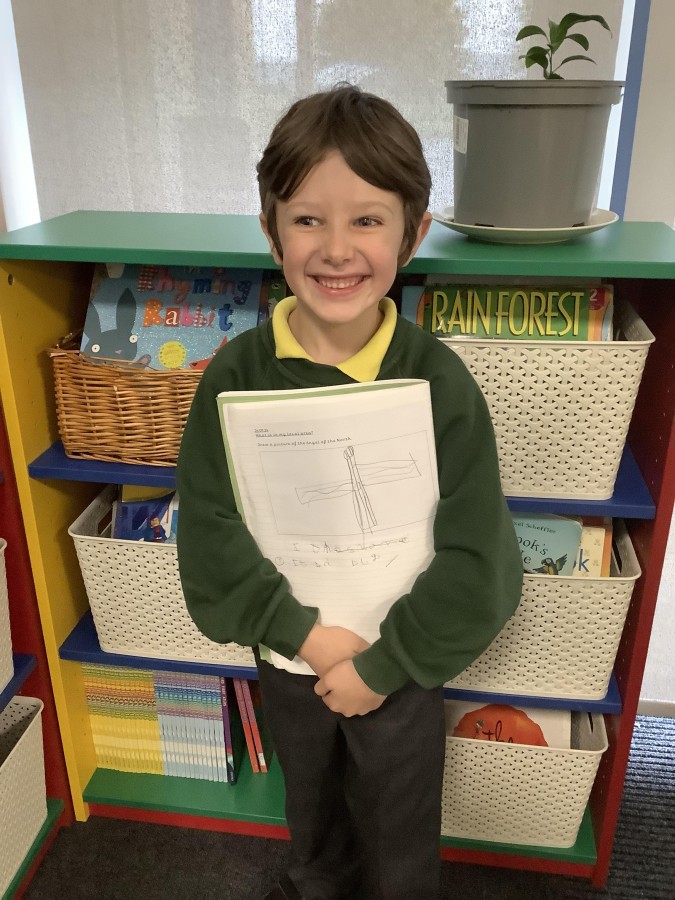
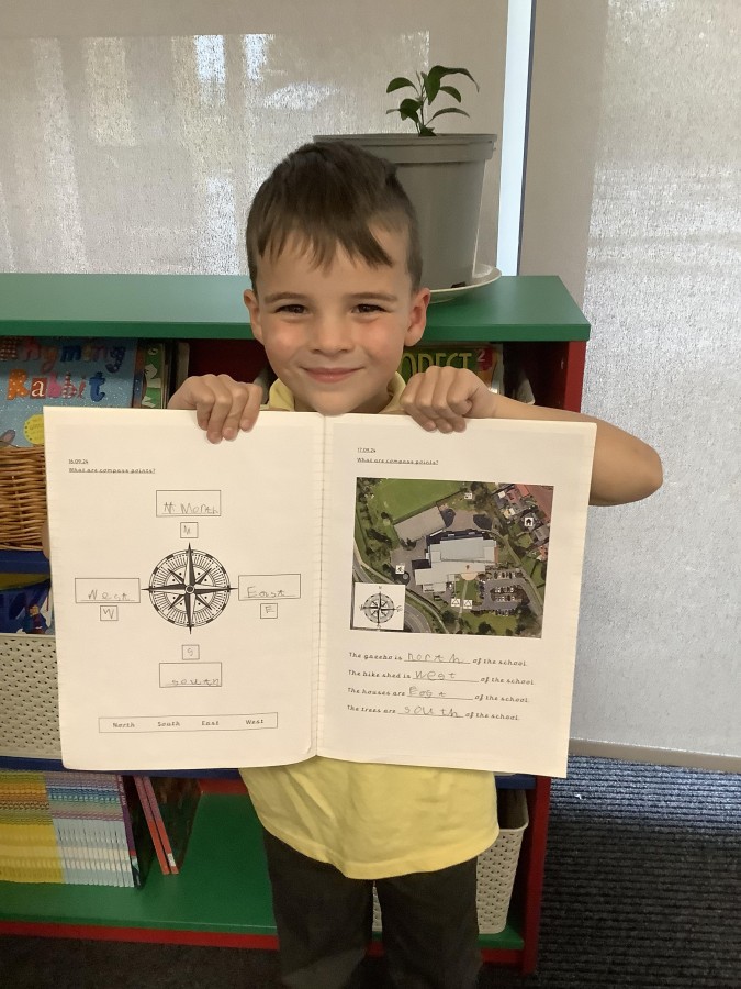
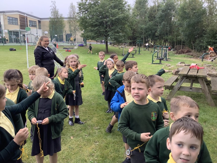
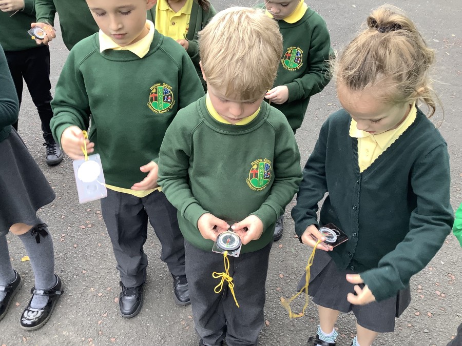
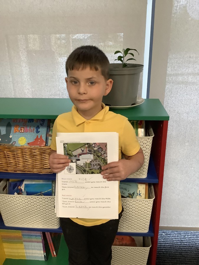
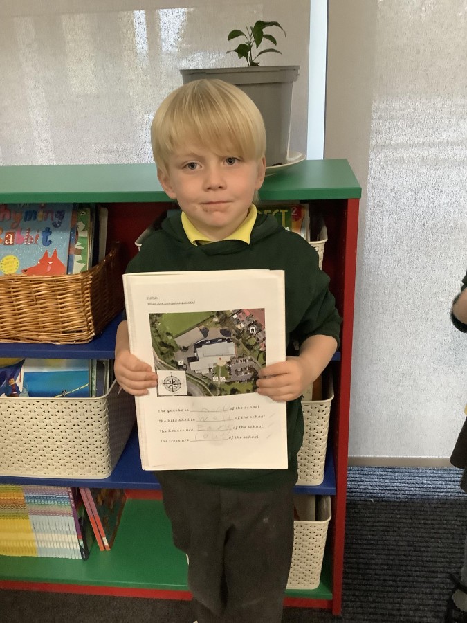
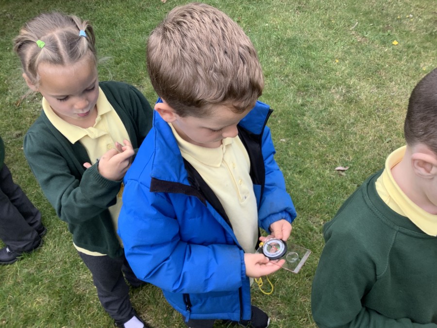
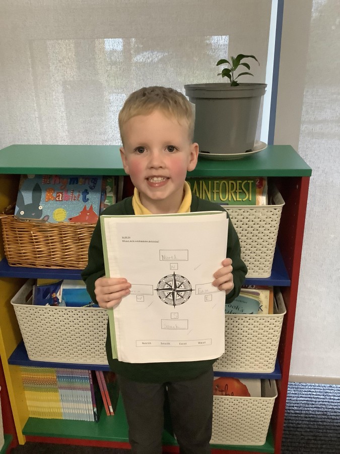
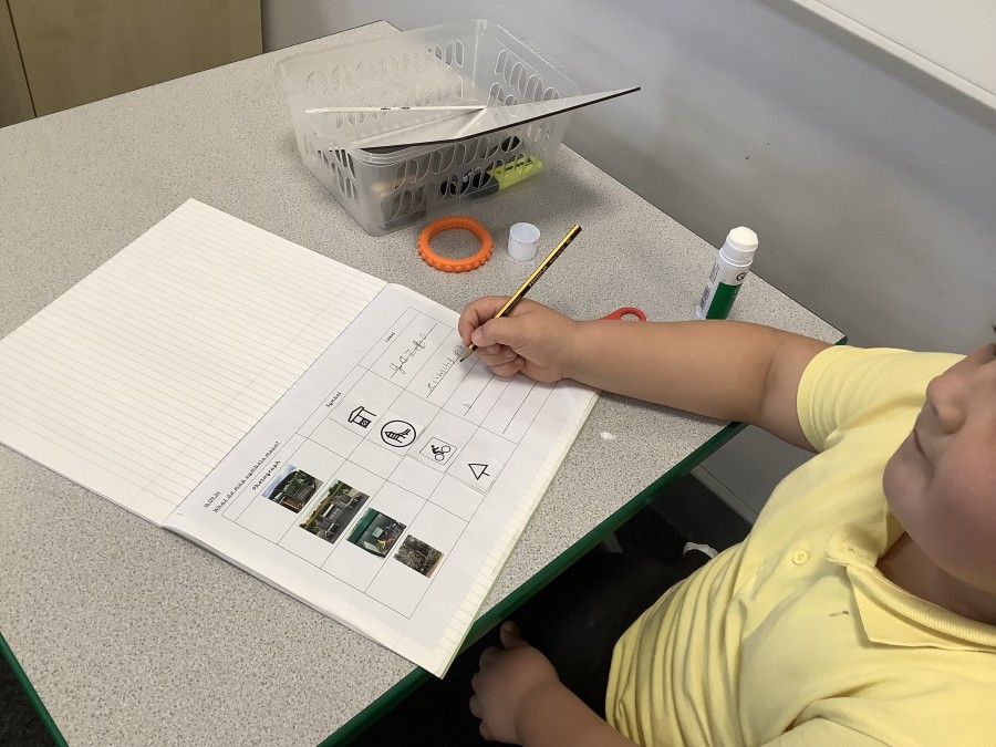
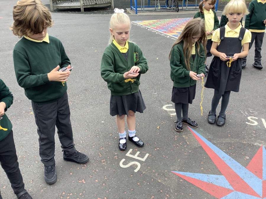
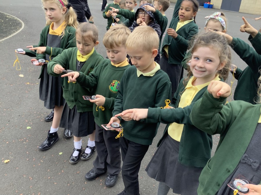
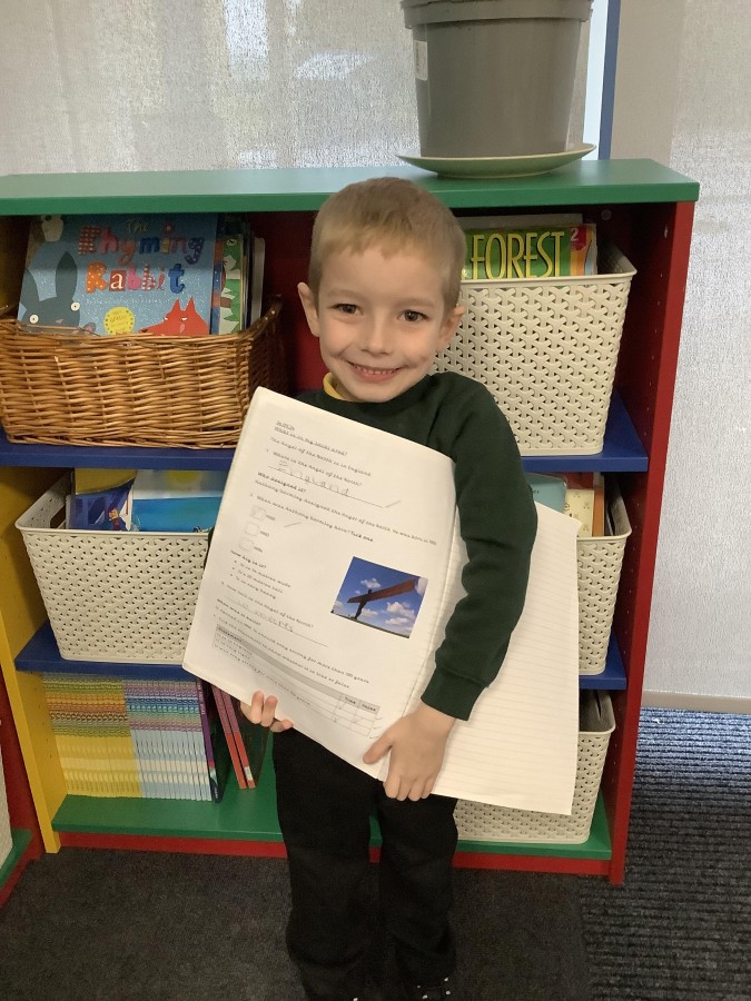
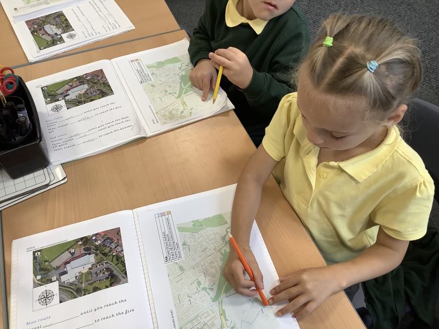
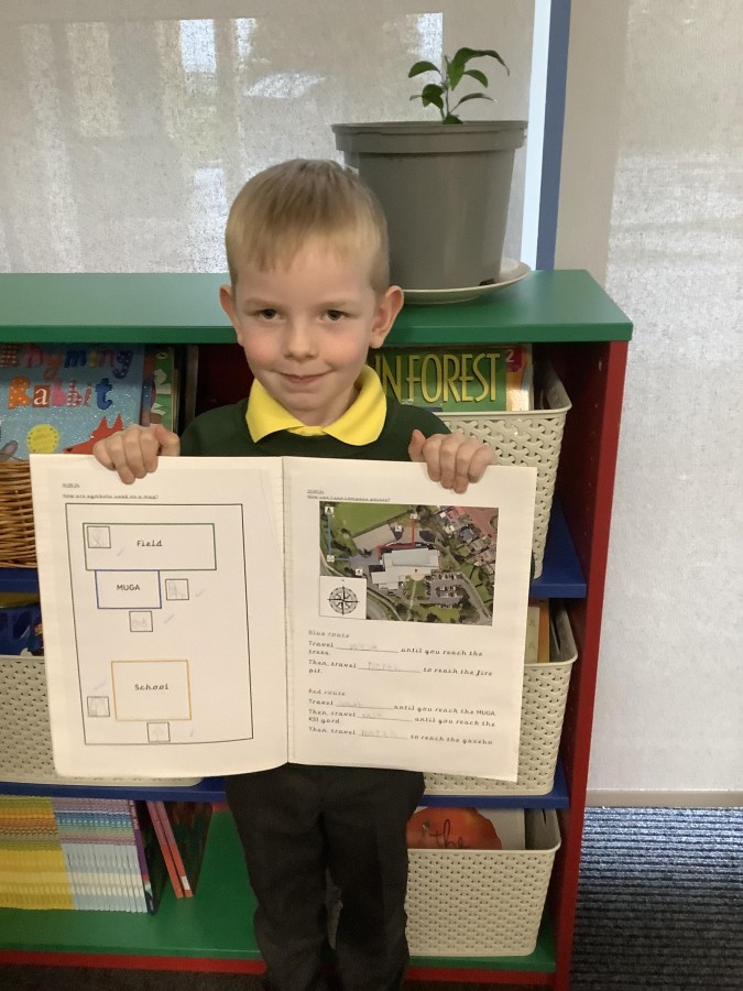
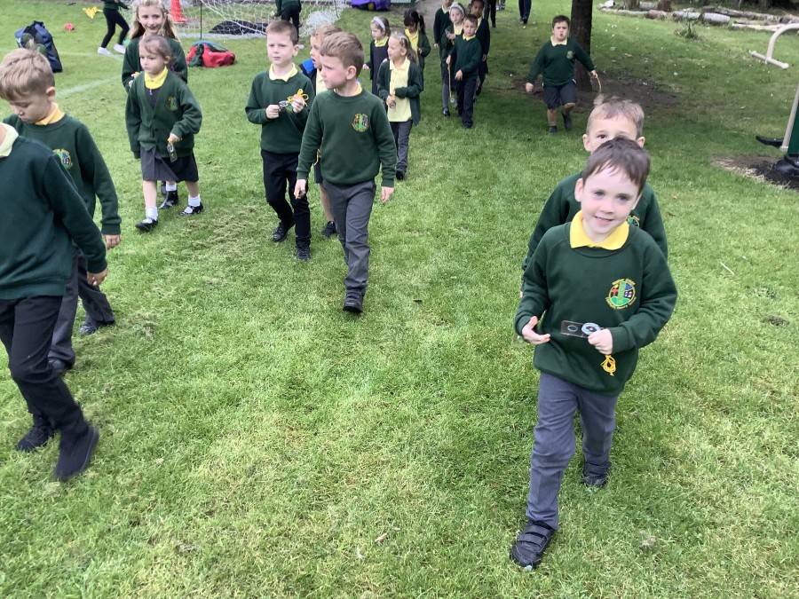
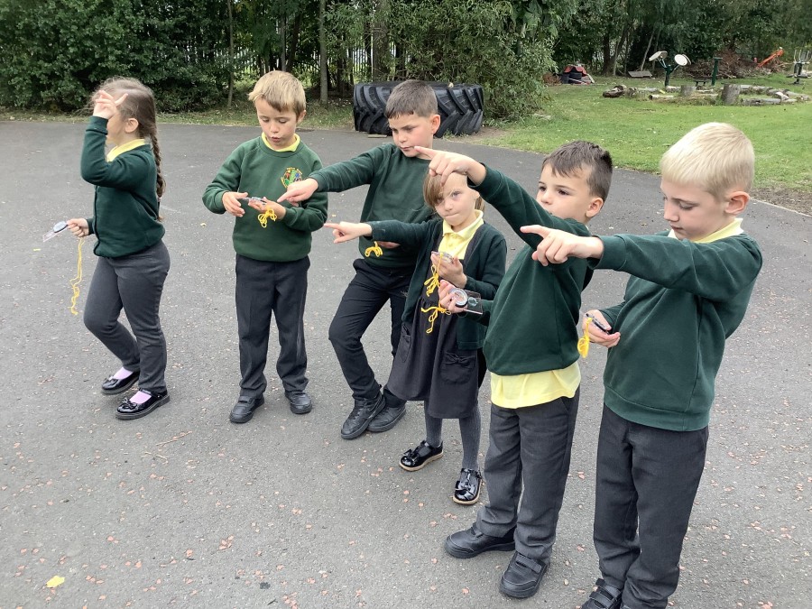
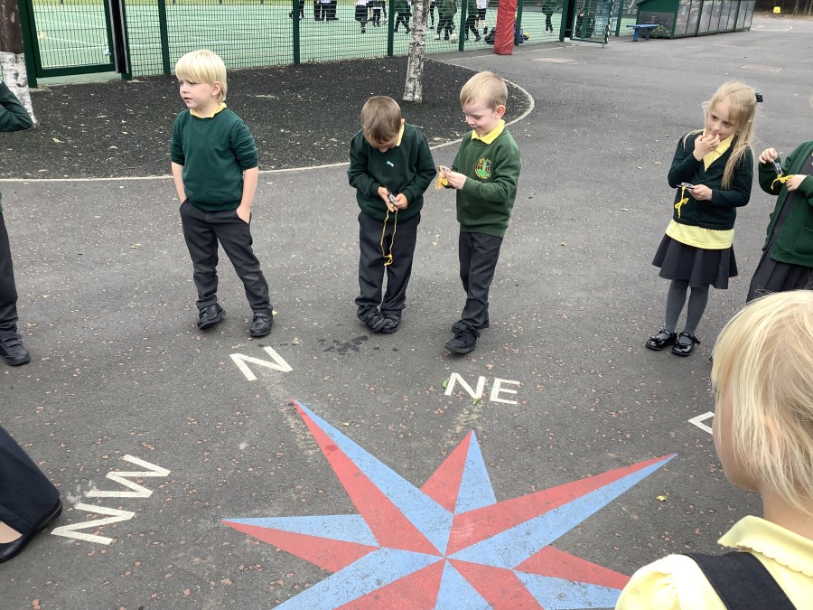
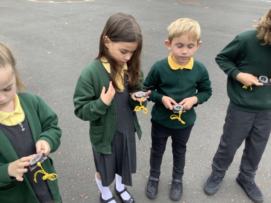
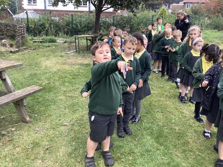
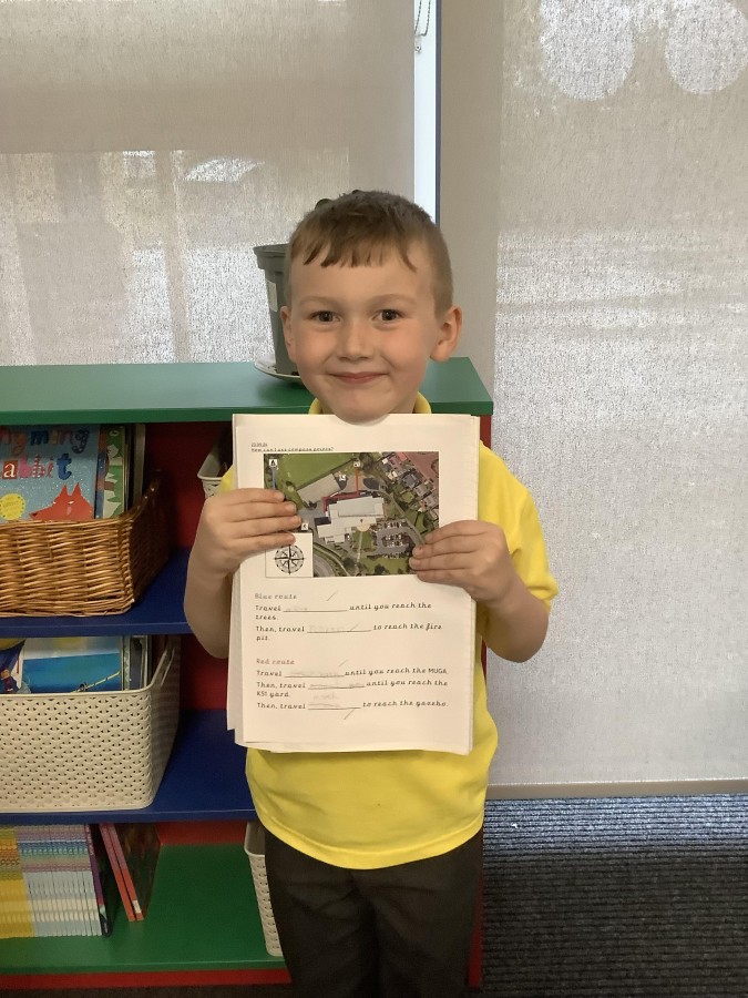
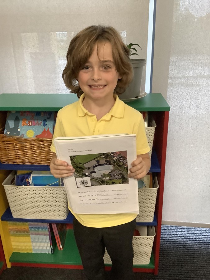
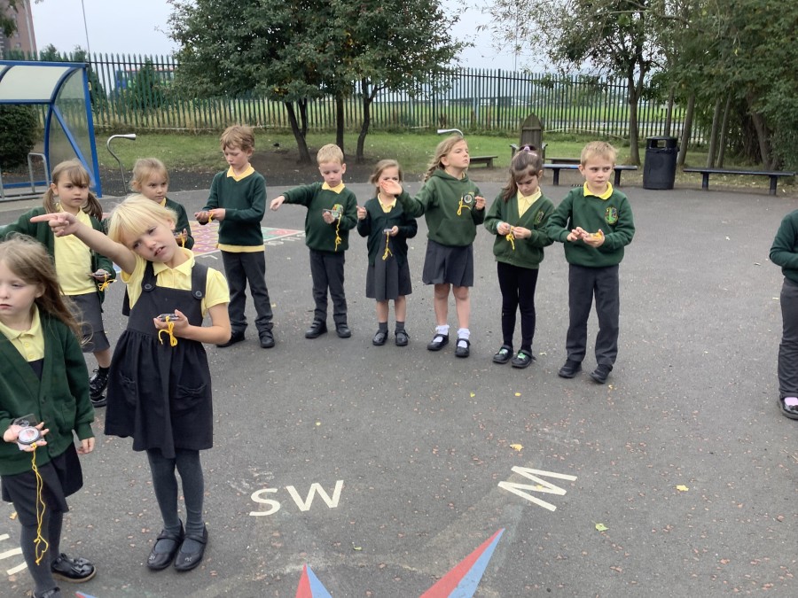
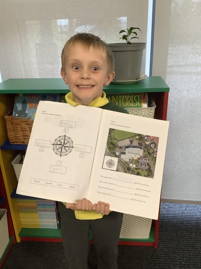
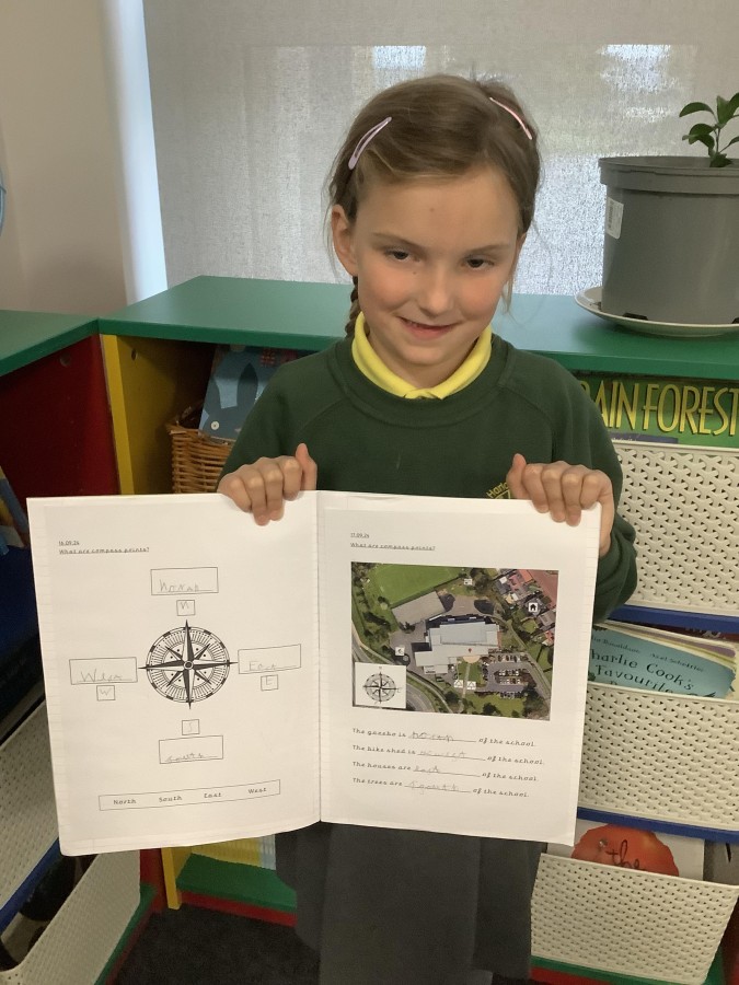
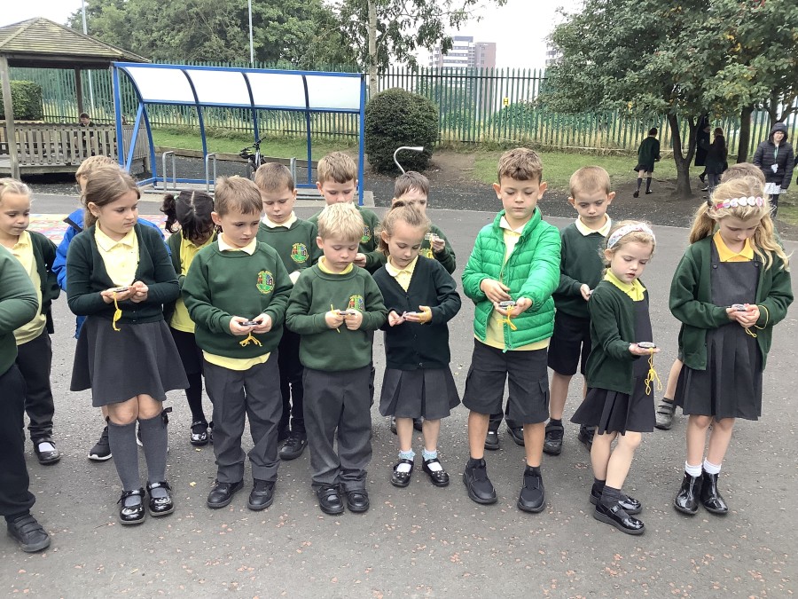
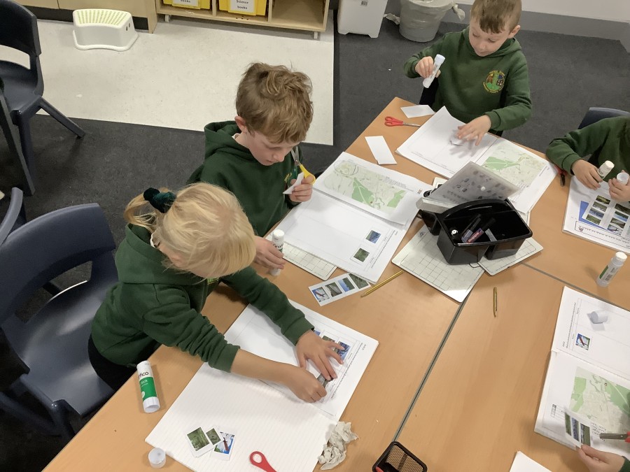
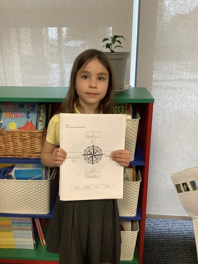
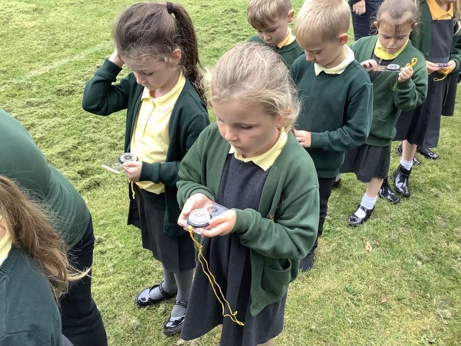
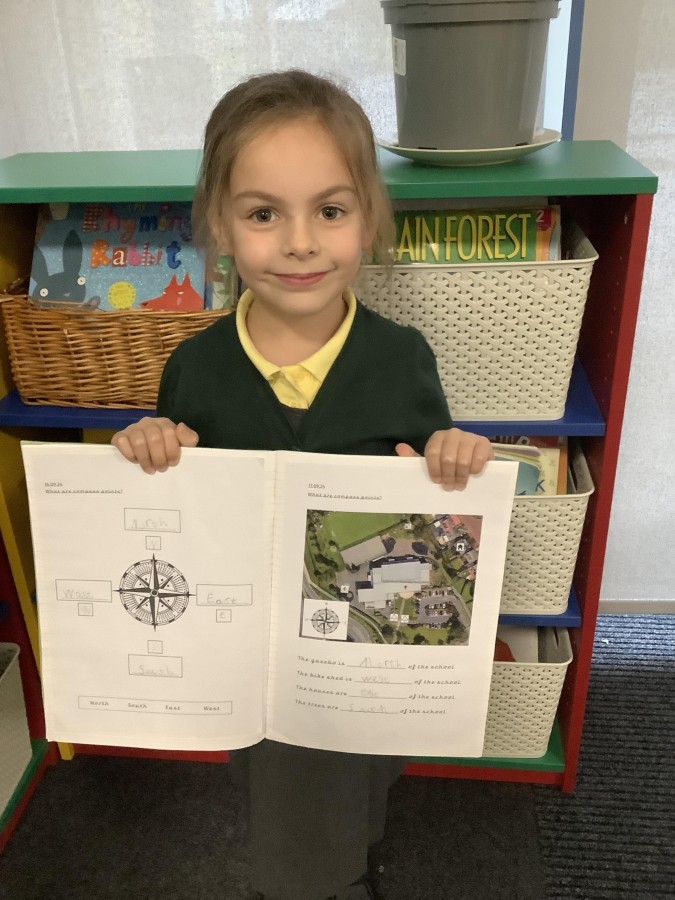
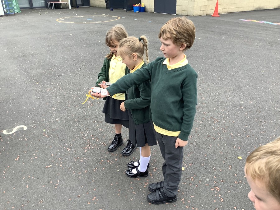
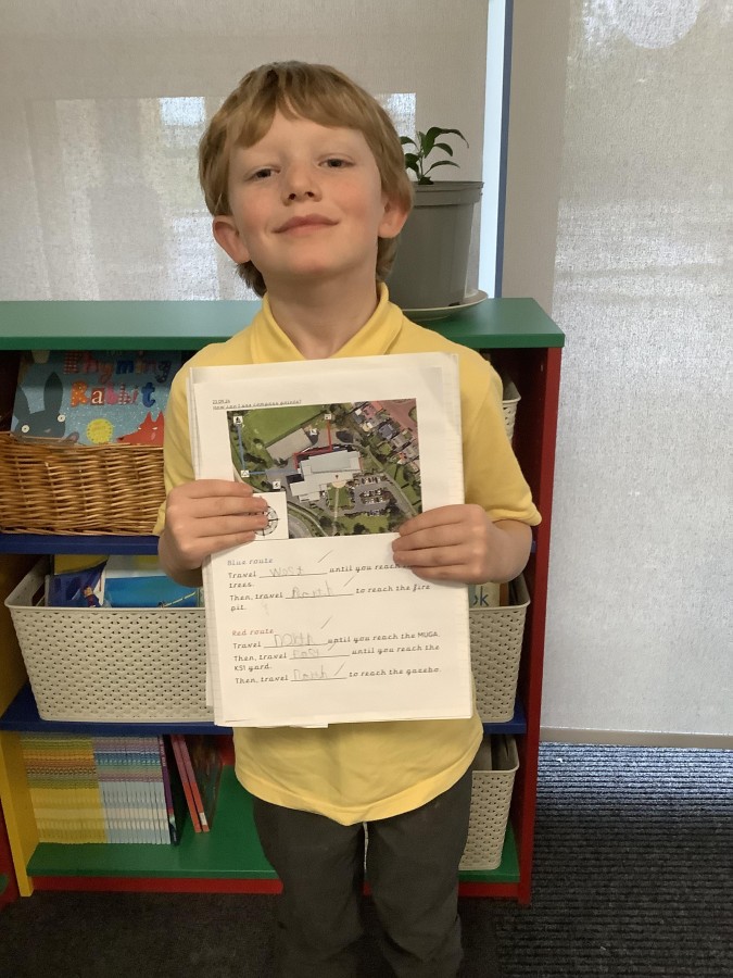
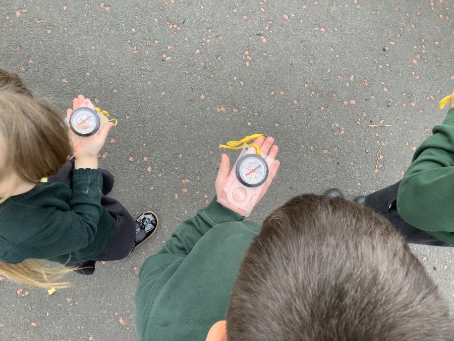
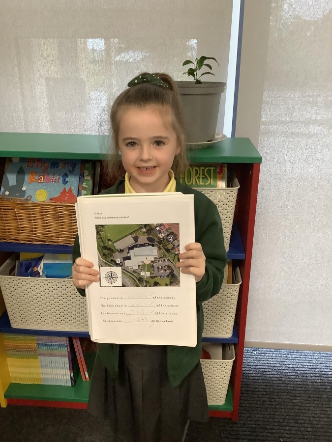
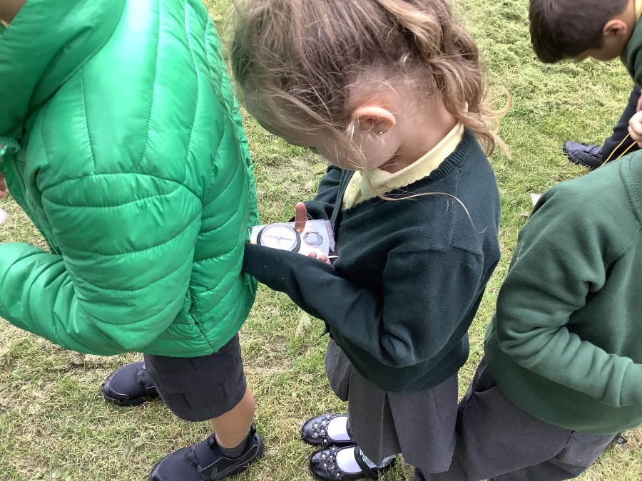
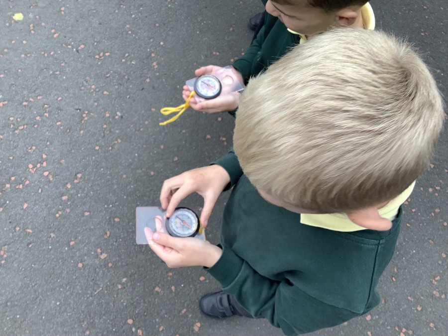
Next, the children learnt the four main compass points – north, east, south and west. They labelled their own compass and learnt rhymes to help them to remember the order of the compass points. After that, the boys and girls used compass points to describe where different features were compared to the school building. The children also had the opportunity to take part in some fieldwork, using a real compass to identify north, east, south and west in the school grounds. They used their compasses to follow directions and find different features on the school site. They later recorded these routes in their books.
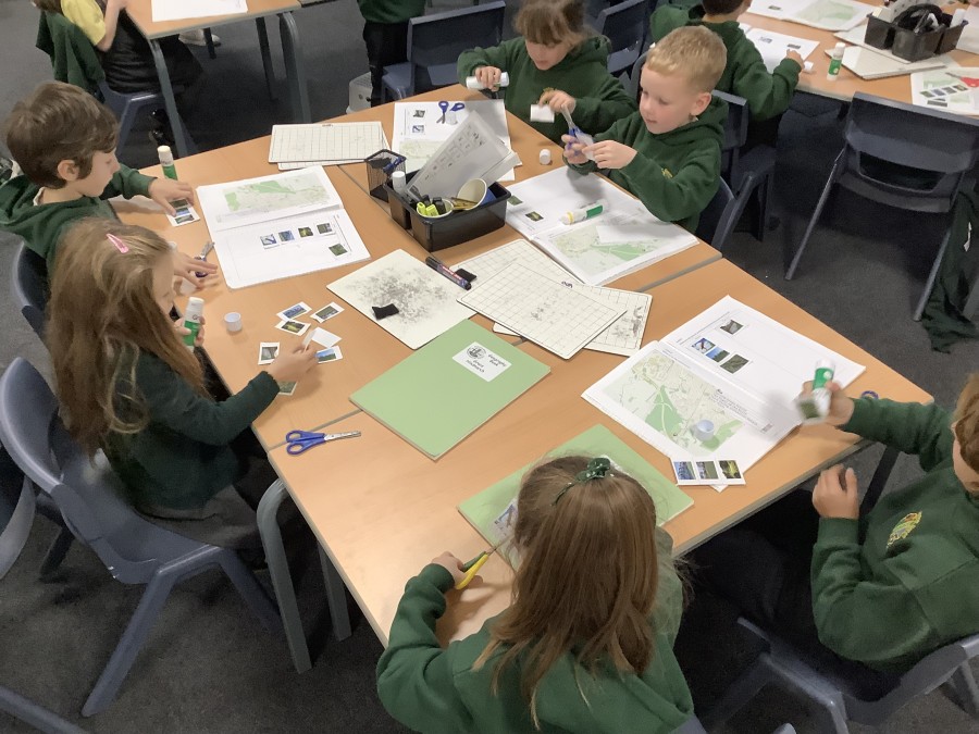
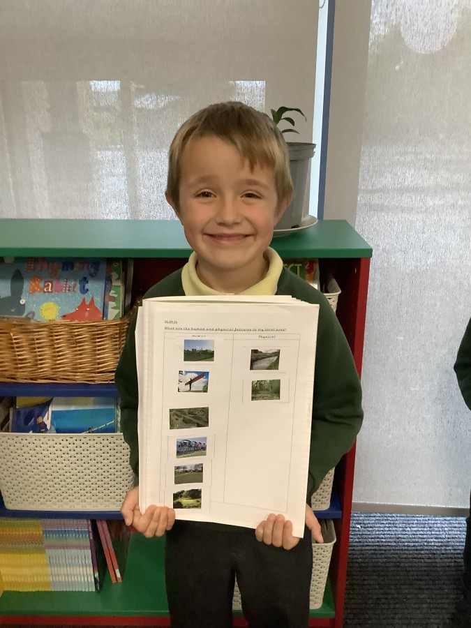
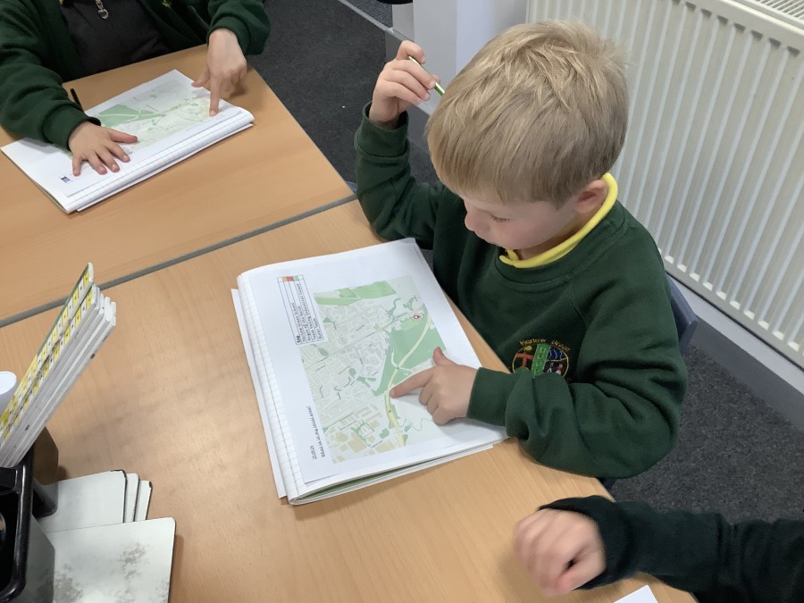
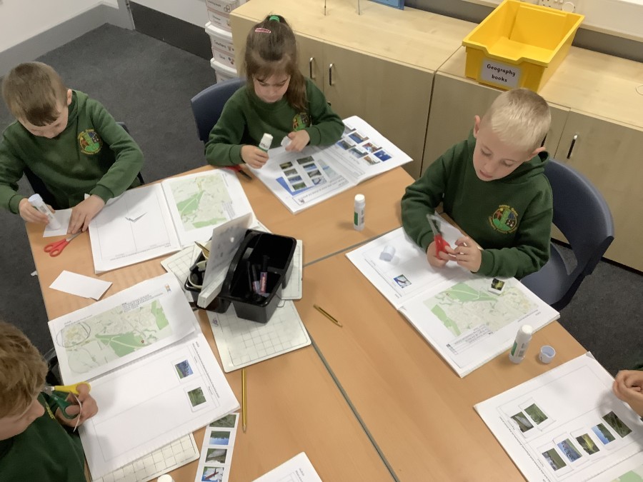
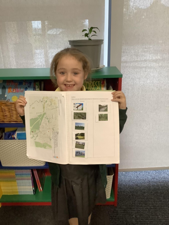
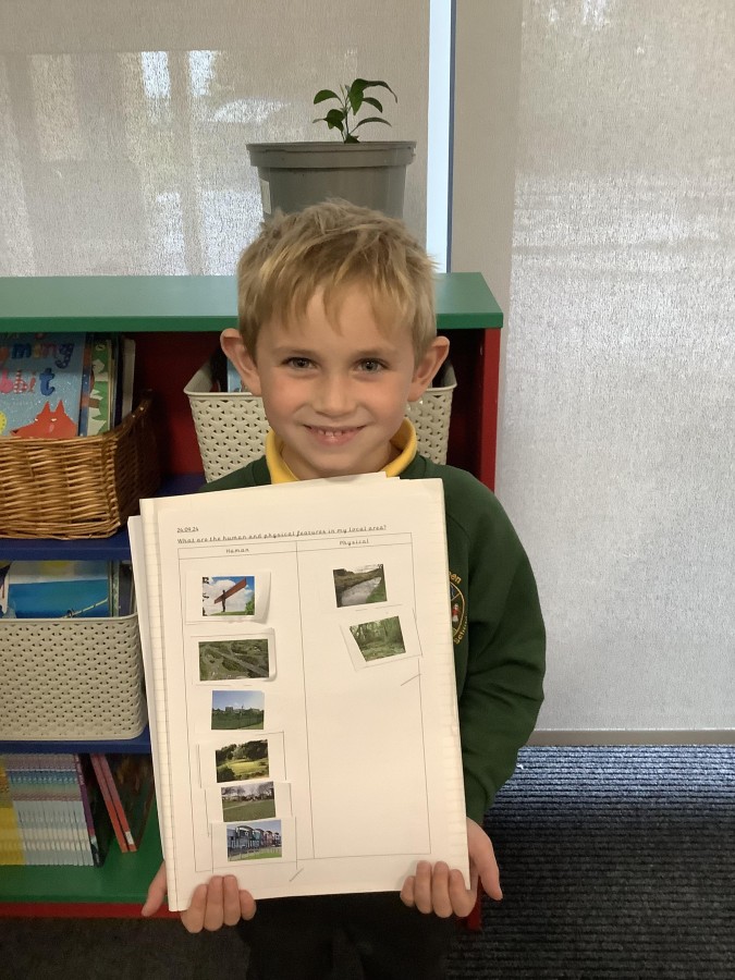
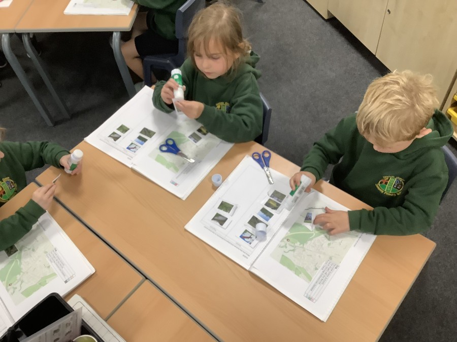
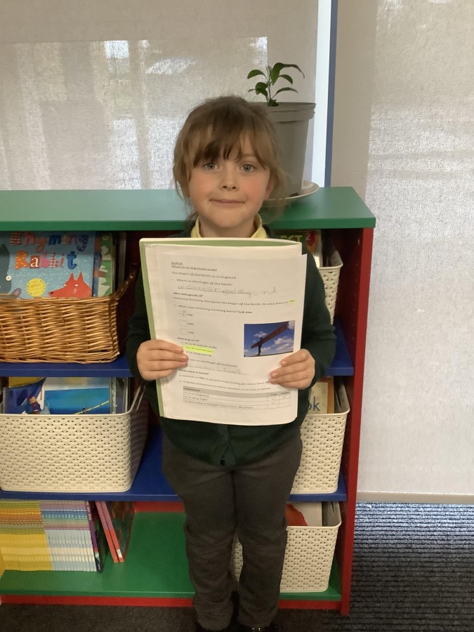
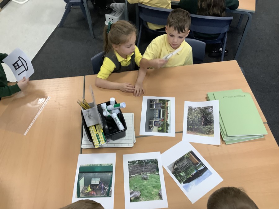
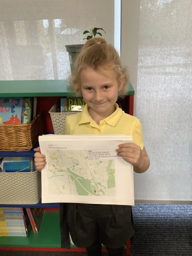
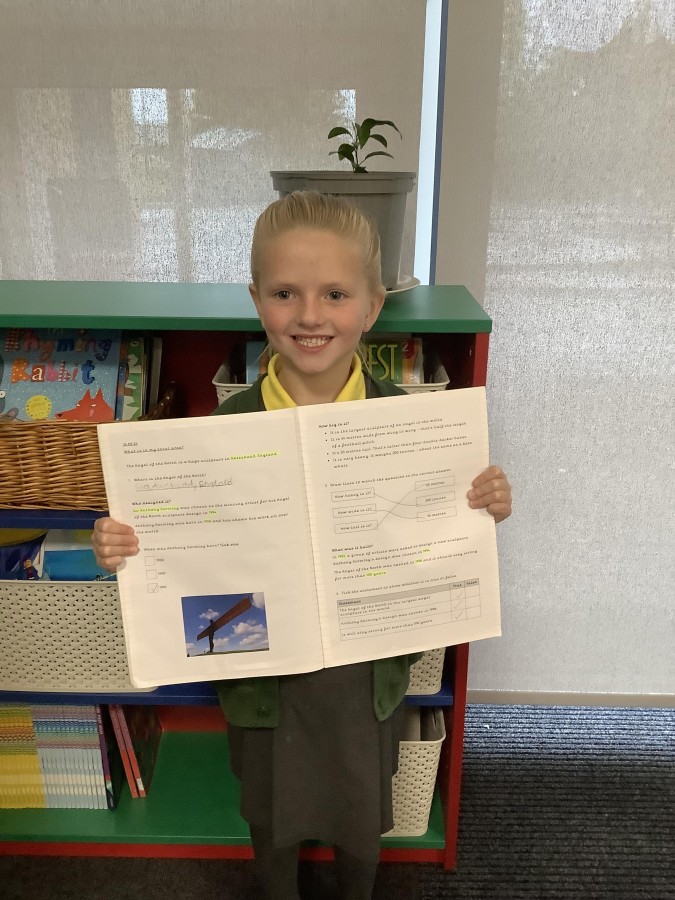
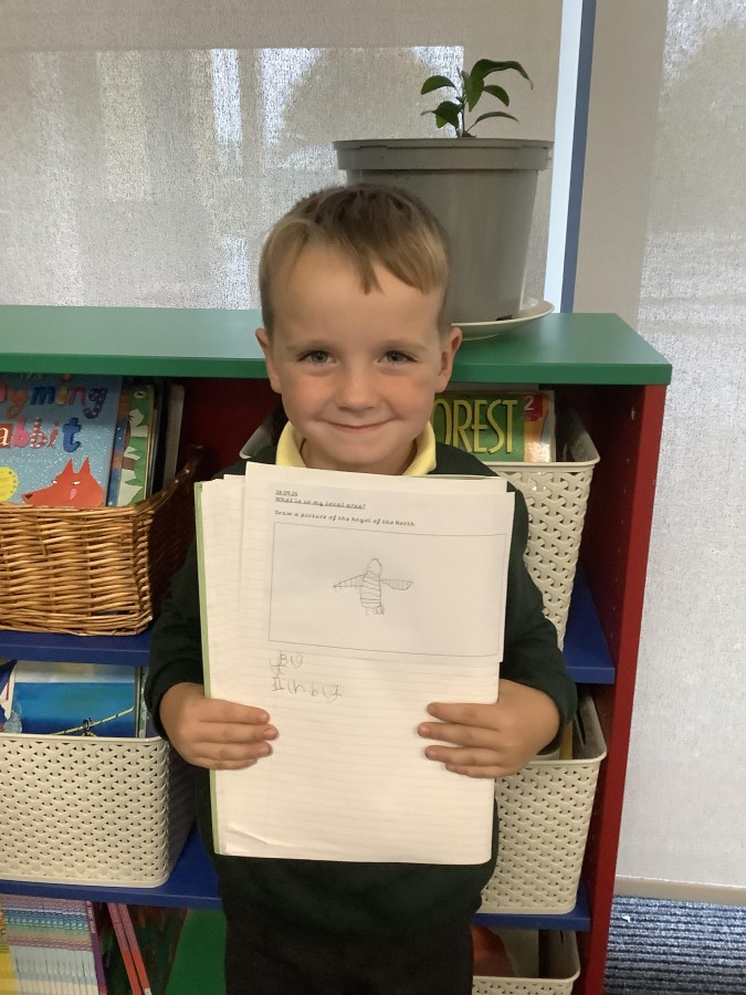
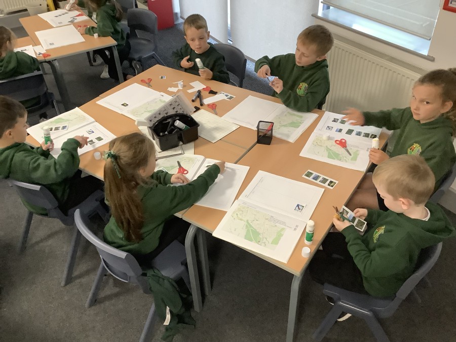
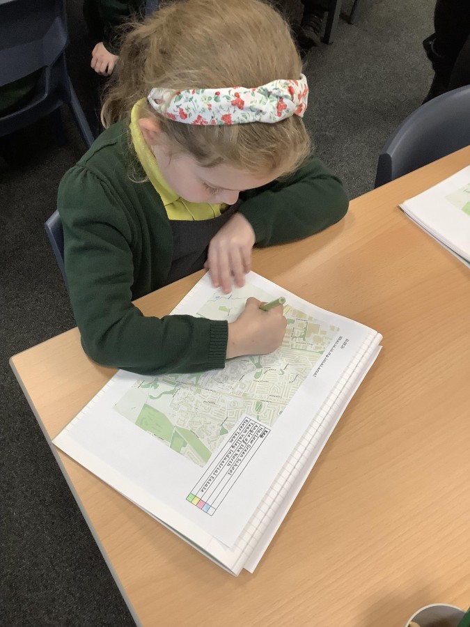
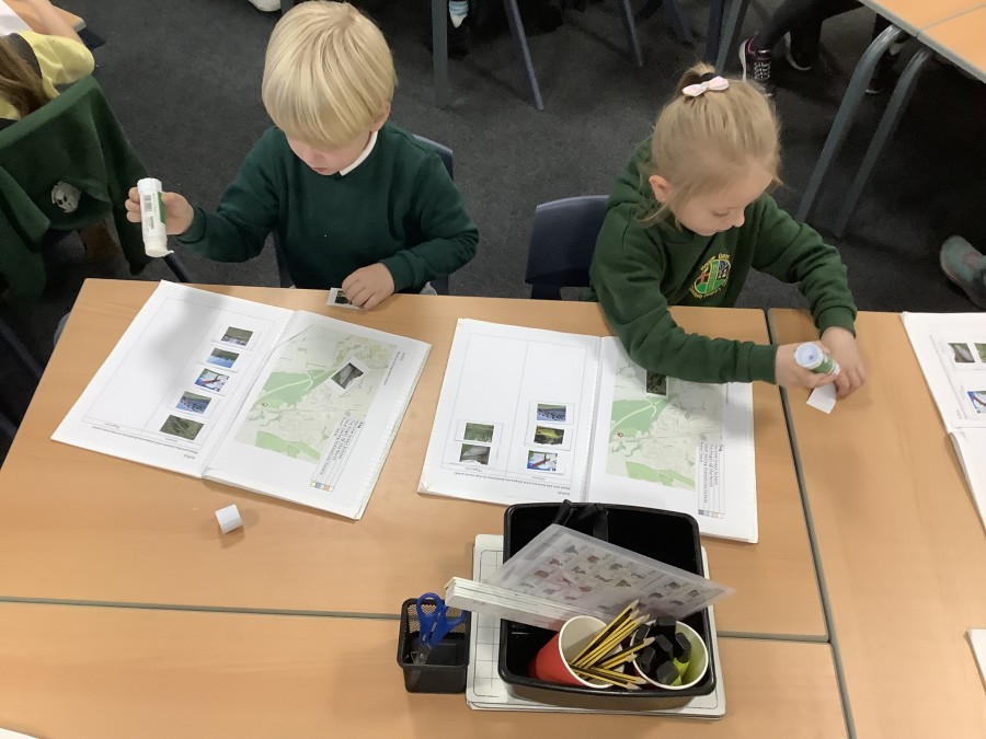
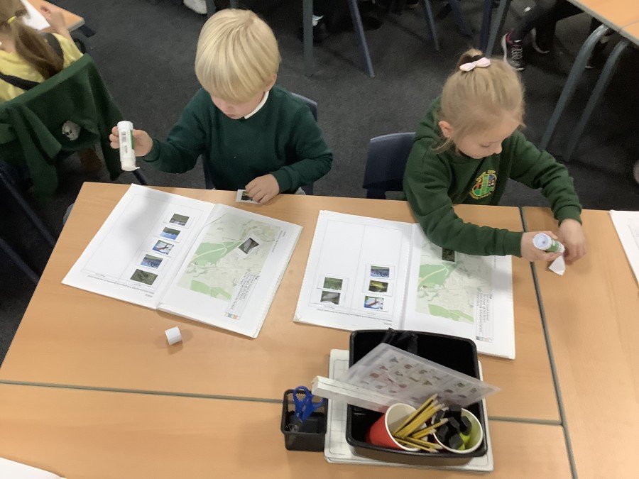
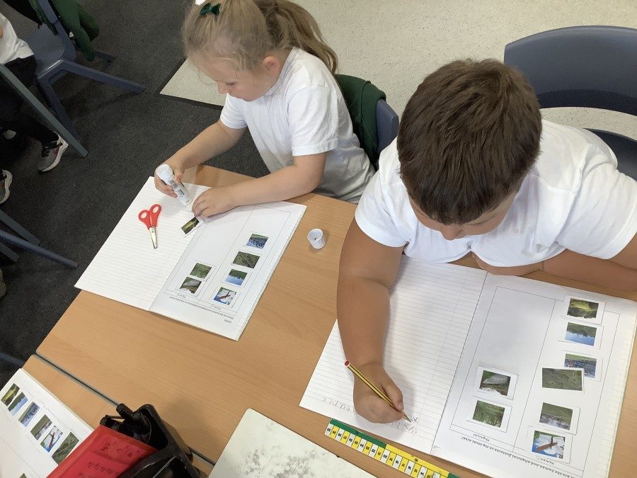
Finally, the children looked at the local area. They identified some different features on a map and created a key. The boys and girls found out that human features are made by people (e.g. a road) whereas physical features are natural (e.g. a river). They then sorted the different features into human and physical.