To provide the best experiences, we use technologies like cookies to store and/or access device information. Consenting to these technologies will allow us to process data such as browsing behavior or unique IDs on this site. Not consenting or withdrawing consent, may adversely affect certain features and functions.
The technical storage or access is strictly necessary for the legitimate purpose of enabling the use of a specific service explicitly requested by the subscriber or user, or for the sole purpose of carrying out the transmission of a communication over an electronic communications network.
The technical storage or access is necessary for the legitimate purpose of storing preferences that are not requested by the subscriber or user.
The technical storage or access that is used exclusively for statistical purposes.
The technical storage or access that is used exclusively for anonymous statistical purposes. Without a subpoena, voluntary compliance on the part of your Internet Service Provider, or additional records from a third party, information stored or retrieved for this purpose alone cannot usually be used to identify you.
The technical storage or access is required to create user profiles to send advertising, or to track the user on a website or across several websites for similar marketing purposes.

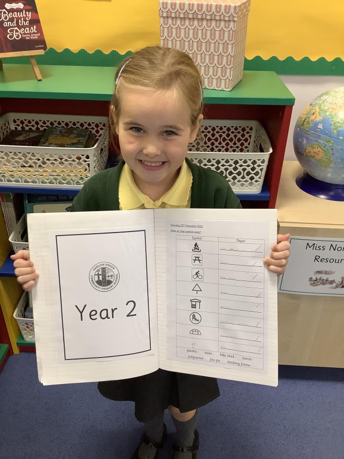
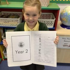 In Geography, Year Two have been learning all about map symbols. They discussed what a map is and what it is used for. Did you know map symbols make reading a map easier? The boys and girls learned that maps are too small to include lots of writing, so symbols are used instead. They went on a hunt a
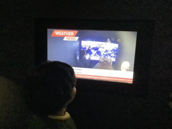
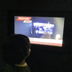 Year Two have had a fantastic day at the Centre for Life. They have learned so much about our world and space. They took part in a fantastic workshop and learned all about the continents and the animals that live there. Did you know there are more kangaroos than people in Australia? They also learne
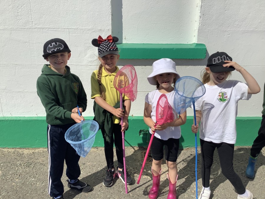
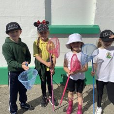 It was a pleasure to take Year One to Souter Lighthouse this week. Fortunately the sun was shining all day long. Our first activity was rock pooling on the beach. All the children were given buckets and nets and after a long walk down to the water’s edge, everyone was excited to start looking
 Last Friday, Nursery and the Harlow Green Toddler Group took part in “The Big Toddle”. The Big Toddle is a short, sponsored walk to raise money for vulnerable children and young adults through Barnardo’s. It was a chance for children to be as brave as a lion, put their best foot forward, and s
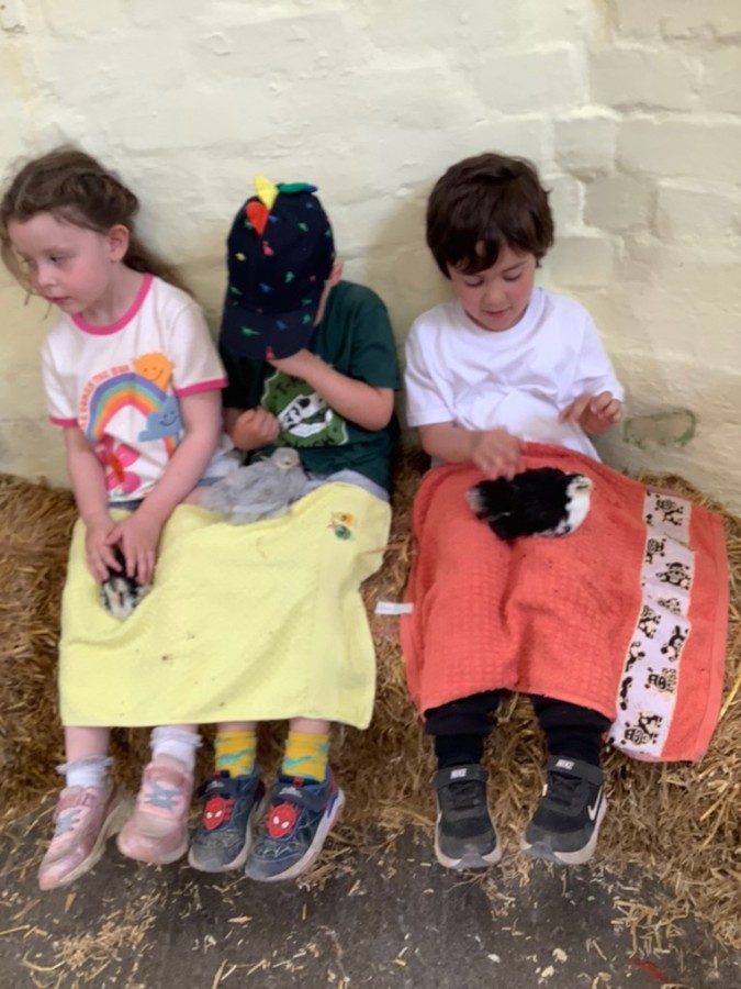
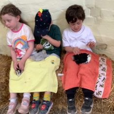 The children in Reception have thoroughly enjoyed our trip to Hall Hill Farm today. We had a great time meeting all the farmyard animals and even feeding a few. After lunch, we enjoyed holding baby chicks, guniea pigs and rabbits and even feeding a baby lamb with a bottle. We rode on the bumpy tract
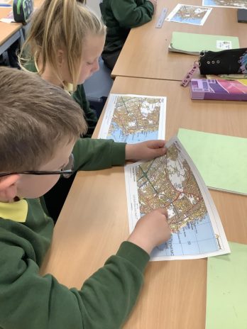
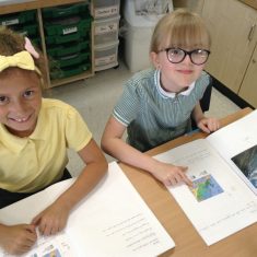
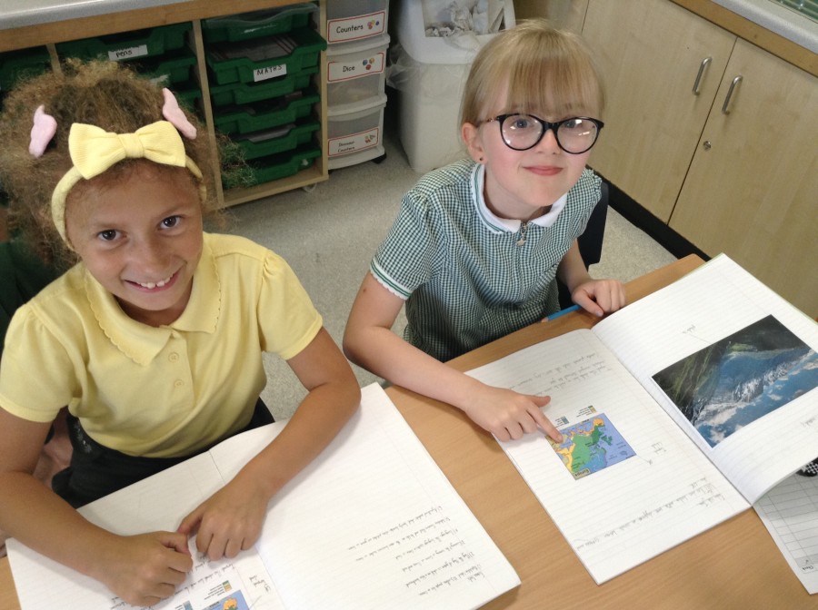
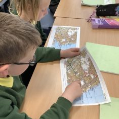 In our final Geography topic of the year, year 5 have been developing their map skills. The children began by consolidating what they knew about using atlases to find locations. They practiced reading the index and using the page number then simple grid coordinates to find a location. They also lear
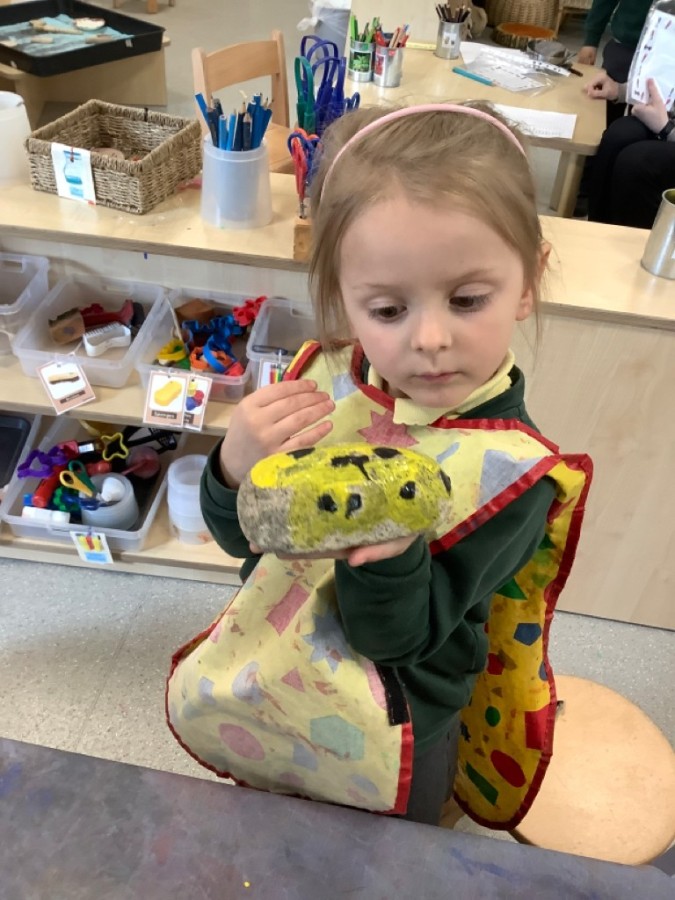
 Pebbles Pebbles Pebbles The children in the Nursery enjoyed collecting pebbles for their homework. When we came back to Nursery we explored the pebbles and discussed where we collected them from and used our senses to describe them. We then read the story ‘Peters Pebbles’, which is a story about a l
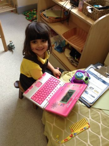
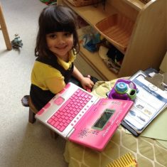 Holidays Holidays Holidays The children in Nursery have enjoyed talking about different kinds of holidays, where they could go, where they would like to go, where they would stay and how they would get there! The nursery has enjoyed pretending to be on planes and trains and writing tickets to each o
 Our Geography topic this half term involves comparing two different European countries. Since we already know so much about Ancient Greece, it is good to look at modern Greece as a comparison! This week we started by looking at the climate zones, how this is likely to impact on the way people li
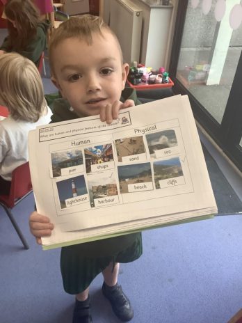
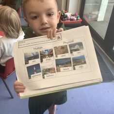 Year One have been learning about the world around us and the seaside in Geography. In particular they have been introduced to human and physical features in the environment. They have learnt that physical features such as cliffs, rivers and mountains are natural and created by natural process